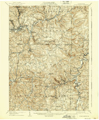
1906 Map of Punxsutawney
USGS Topo · Published 1939About this map
Punxsutawney serves as the focal point for this survey, showcasing the early industrial and agricultural landscape of Jefferson, Indiana, and Clearfield counties. The map captures a critical period of rail expansion, where the Pittsburg and Shawmut Railroad and the Buffalo and Susquehanna intersect with smaller networks at Elk Run Junc and Rossiter Junc. These connections served numerous mining and milling communities, including Walston, Adrian Delancey PO, and Mc Gees Mills.
Find a feature on this map
92 named features on this map. Tap any name to fly to it.
Don’t see what you’re looking for? This feature index may not catch every label — zoom into the map to look around manually.
Map Details
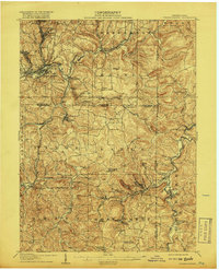
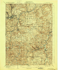
Editions of this 1906 Punxsutawney Map
4 editions found
Other maps of this area

1902 · Indiana
USGS Topo · 1:62,500

1902 · Patton
USGS Topo · 1:62,500

1902 · Barnesboro
USGS Topo · 1:62,500

1903 · Curwensville
USGS Topo · 1:62,500

1904 · Barnesboro
USGS Topo · 1:62,500

1904 · Patton
USGS Topo · 1:62,500

1906 · Punxsutawney
USGS Topo · 1:62,500

1909 · Smicksburg
USGS Topo · 1:62,500

1922 · Du Bois
USGS Topo · 1:62,500

1924 · Du Bois
USGS Topo · 1:62,500