
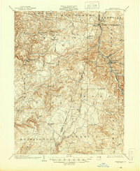
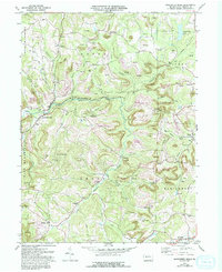
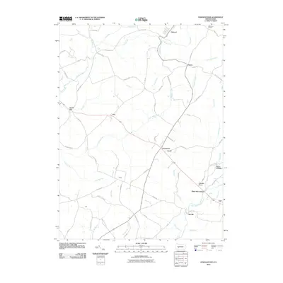
1902 Map of Barnesboro
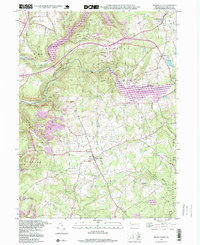
USGS Topo · Published 1956About this map
The upper West Branch Susquehanna River and its numerous feeder runs define the industrial and agricultural landscape of this western Pennsylvania region at the turn of the century. Large mining and rail hubs like Barnesboro and Spangler dominate the eastern edge, connected by the Cambria and Clearfield Division of the Pennsylvania RR. These centers contrast with the scattered rural hamlets of Indiana CO. and Cambria CO. such as Possum Glory, Nicktown, and Strongstown.
Find a feature on this map
86 named features on this map. Tap any name to fly to it.
Don’t see what you’re looking for? This feature index may not catch every label — zoom into the map to look around manually.
Map Details
Editions of this 1902 Barnesboro Map
This is the sole edition of this map. No revisions or reprints were ever made.
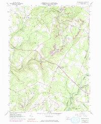
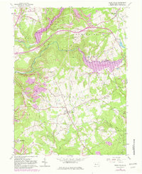
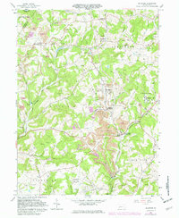
Historical Maps of Northern Cambria Through Time
27 maps found
1902 Barnesboro
Indiana County, PA
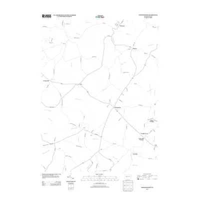
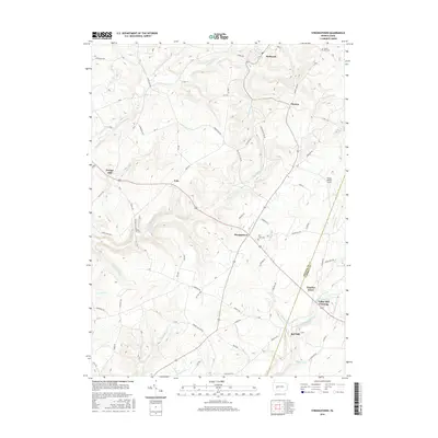
1904 Barnesboro
Indiana County, PA
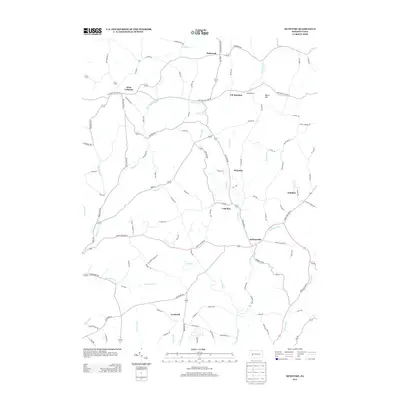
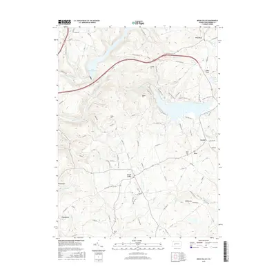
1961 Strongstown
Indiana County, PA
1963 Brush Valley
Indiana County, PA
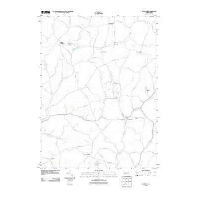
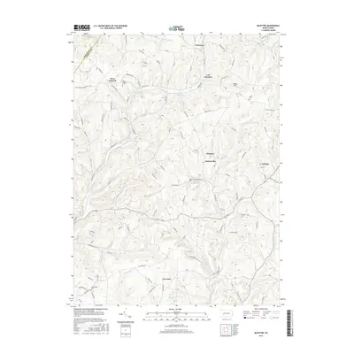
1964 Mc Intyre
Indiana County, PA
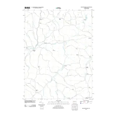
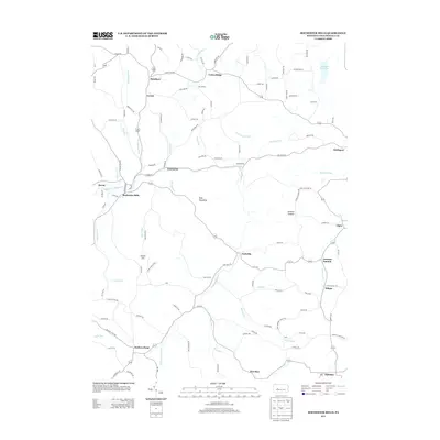
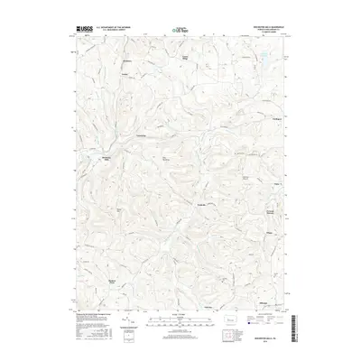
1968 Rochester Mills
Indiana County, PA
1998 Brush Valley
Indiana County, PA

2010 Brush Valley
Indiana County, PA
2010 McIntyre
Indiana County, PA
2010 Rochester Mills
Indiana County, PA
2010 Strongstown
Indiana County, PA

2013 Brush Valley
Indiana County, PA
2013 McIntyre
Indiana County, PA
2013 Rochester Mills
Indiana County, PA
2013 Strongstown
Indiana County, PA
2016 Brush Valley
Indiana County, PA
2016 McIntyre
Indiana County, PA
2016 Rochester Mills
Indiana County, PA
2016 Strongstown
Indiana County, PA
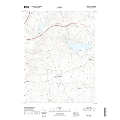
2019 Brush Valley
Indiana County, PA
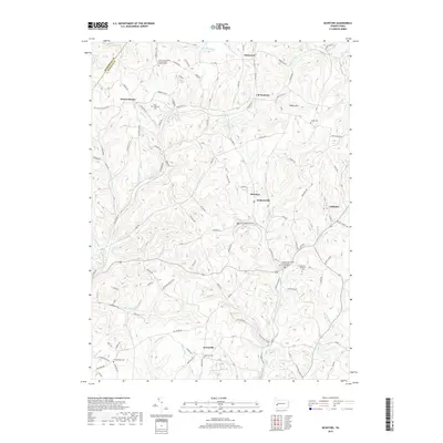
2019 McIntyre
Indiana County, PA
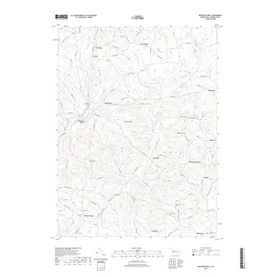
2019 Rochester Mills
Indiana County, PA
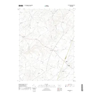
2019 Strongstown
Indiana County, PA
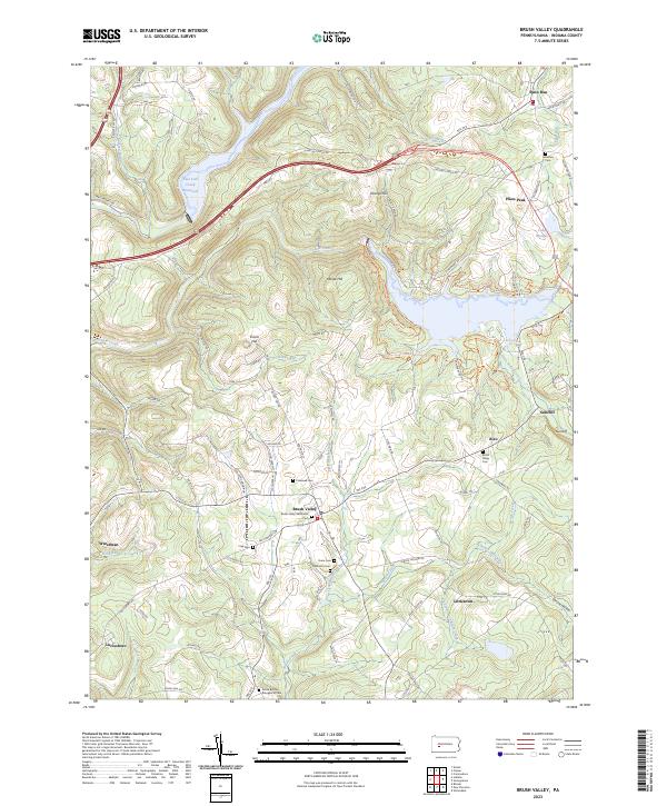
2023 Brush Valley
Indiana County, PA
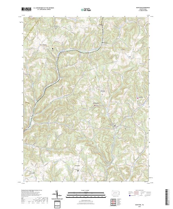
2023 McIntyre
Indiana County, PA
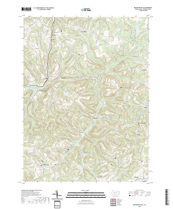
2023 Rochester Mills
Indiana County, PA
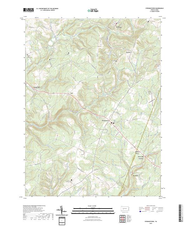
2023 Strongstown
Indiana County, PA
Featured Locations
- East Carroll Township, PA
- Northern Cambria, PA
- Cherry Tree, PA
- Brush Valley Township, PA
- Rayne Township, PA