
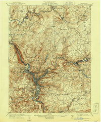
1907 Map of Johnstown
USGS Topo · Published 1907About this map
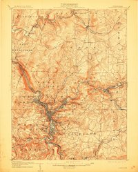
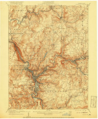
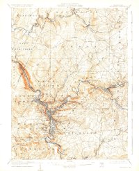
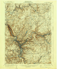
The Little Conemaugh River and Stony Creek converge in this early 20th-century landscape, framing the industrial heart of the region. The map captures a dense network of rail and river-driven settlements, including Woodvale, Franklin, and Prospect, just years after the devastating 1889 flood. High above the valley floor, the suburban development of Westmont and the sprawling Grandview Cemetery represent a clear topographical shift in residential patterns away from the flood-prone basins.
Find a feature on this map
97 named features on this map. Tap any name to fly to it.
Don’t see what you’re looking for? This feature index may not catch every label — zoom into the map to look around manually.
Map Details
Editions of this 1907 Johnstown Map
6 editions found
Other maps of this area

1902 · Indiana
USGS Topo · 1:62,500

1902 · Ebensburg
USGS Topo · 1:62,500

1902 · Patton
USGS Topo · 1:62,500

1902 · Barnesboro
USGS Topo · 1:62,500

1904 · Barnesboro
USGS Topo · 1:62,500

1904 · Patton
USGS Topo · 1:62,500

1904 · Ebensburg
USGS Topo · 1:62,500

1904 · Johnstown
USGS Topo · 1:62,500

1908 · Bedford
USGS Topo · 1:62,500

1910 · Bedford
USGS Topo · 1:62,500