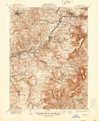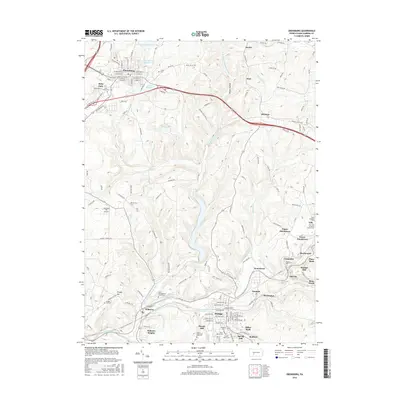
1902 Map of Ebensburg
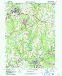
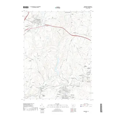
USGS Topo · Published 1954About this map
The Pennsylvania RR and its various branches, including the Pittsburgh Division and the Cambria and Clearfield Division, dominate the industrial character of this Cambria County landscape. Engineering feats like the Old Blairs Gap Portage Road and the Grade near Bennington illustrate the heavy infrastructure required to move coal and freight across the Allegheny front. Centered on the borough of Ebensburg, the map reveals a network of mining and railroad towns such as Lilly, Cresson, and Portage.
Find a feature on this map
88 named features on this map. Tap any name to fly to it.
Don’t see what you’re looking for? This feature index may not catch every label — zoom into the map to look around manually.
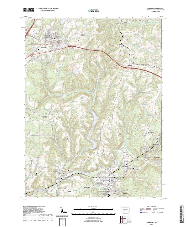
Map Details
Editions of this 1902 Ebensburg Map
This is the sole edition of this map. No revisions or reprints were ever made.
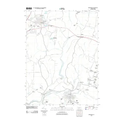
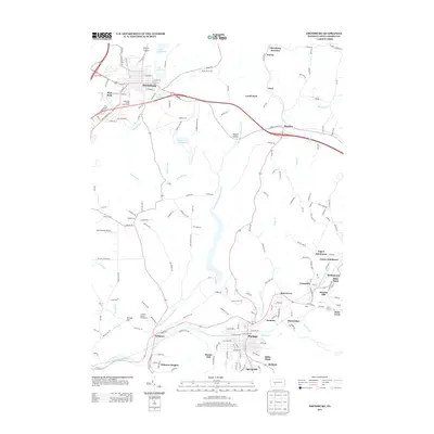
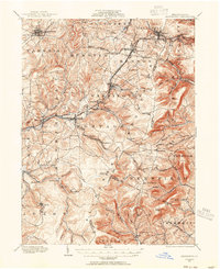
Historical Maps of Ebensburg Through Time
8 maps found