
1903 Map of Hollidaysburg
USGS Topo · Published 1903About this map
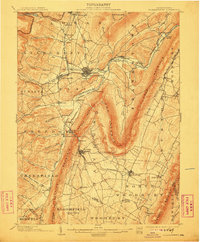
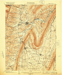
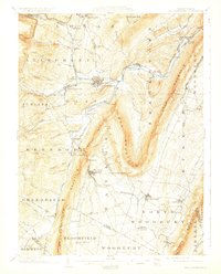
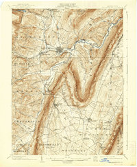
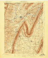
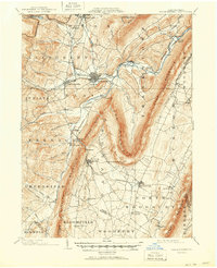
Hollidaysburg and Gaysport sit at the center of a complex industrial landscape defined by the winding gaps of the Ridge-and-Valley Appalachians. At the turn of the century, the region served as a critical corridor for the Pennsylvania RR, which follows the contours of the Frankstown Branch Juniata River and snakes through Blairs Gap. The map documents a landscape of extraction and early transport, with scattered Mines near Orehill and Henrietta, and the distinct rail-oriented settlement at Foot of Ten.
Find a feature on this map
93 named features on this map. Tap any name to fly to it.
Don’t see what you’re looking for? This feature index may not catch every label — zoom into the map to look around manually.
Map Details
Editions of this 1903 Hollidaysburg Map
7 editions found
Other maps of this area

1900 · Everett
USGS Topo · 1:62,500

1901 · Huntingdon
USGS Topo · 1:62,500

1902 · Everett
USGS Topo · 1:62,500

1902 · Ebensburg
USGS Topo · 1:62,500

1902 · Patton
USGS Topo · 1:62,500

1902 · Hollidaysburg
USGS Topo · 1:62,500

1904 · Huntingdon
USGS Topo · 1:62,500

1904 · Patton
USGS Topo · 1:62,500

1904 · Ebensburg
USGS Topo · 1:62,500

1908 · Bedford
USGS Topo · 1:62,500