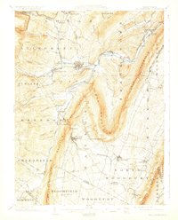
1903 Map of Hollidaysburg
USGS Topo · Published 1928About this map
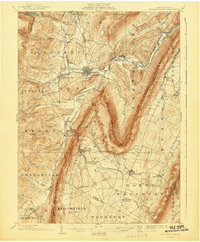
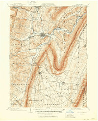
The famed Horseshoe Curve of the Pennsylvania R. R. serves as a dominant landmark on this map of central Pennsylvania, illustrating the early 20th-century engineering required to traverse the Alleghenies. The landscape is defined by the sharp ridges of Loop Mountain, Dunning Mountain, and Tussey Mountain, which channel settlement and industry into the narrow valleys. The Frankstown Branch Juniata River provides the primary drainage for the region, where numerous communities such as Hollidaysburg, Duncansville, and Roaring Spring developed around rail junctions and natural springs.
Find a feature on this map
88 named features on this map. Tap any name to fly to it.
Don’t see what you’re looking for? This feature index may not catch every label — zoom into the map to look around manually.
Map Details
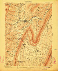
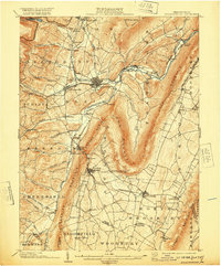
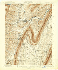
Editions of this 1903 Hollidaysburg Map
7 editions found
Other maps of this area

1900 · Everett
USGS Topo · 1:62,500

1901 · Huntingdon
USGS Topo · 1:62,500

1902 · Everett
USGS Topo · 1:62,500

1902 · Ebensburg
USGS Topo · 1:62,500

1902 · Patton
USGS Topo · 1:62,500

1902 · Hollidaysburg
USGS Topo · 1:62,500

1903 · Hollidaysburg
USGS Topo · 1:62,500

1904 · Huntingdon
USGS Topo · 1:62,500

1904 · Patton
USGS Topo · 1:62,500

1904 · Ebensburg
USGS Topo · 1:62,500