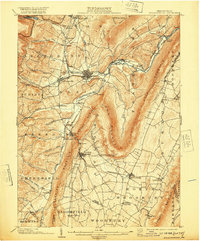
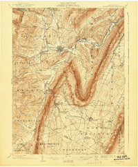
1903 Map of Hollidaysburg
USGS Topo · Published 1920About this map
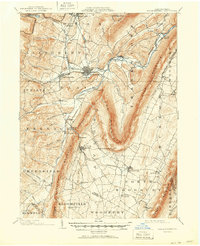
Hollidaysburg and its twin settlement Gaysport sit at the center of this 1903 landscape, where the Frankstown Branch Juniata River carves through the dramatic ridges of the Ridge-and-Valley Appalachians. The region's industrial character is defined by the Pennsylvania R. R. and the Altoona Div., which connect iron-rich locales like Orehill and Rodman to the broader rail network. To the east, the sharp hook of Loop Mountain and the high spine of Lock Mountain hem in Oldtown Run, while the Altoona Reservoir and Kittanning Pt mark the western ascent into the Allegheny Mountain front. Small agricultural and mining hamlets such as East Freedom, Roaring Spring, and Claysburg are scattered along the valley floors, showing the dense settlement pattern of Blair County at the opening of the twentieth century.
Find a feature on this map
93 named features on this map. Tap any name to fly to it.
Don’t see what you’re looking for? This feature index may not catch every label — zoom into the map to look around manually.
Map Details
Editions of this 1903 Hollidaysburg Map
7 editions found
Other maps of this area

1900 · Everett
USGS Topo · 1:62,500

1901 · Huntingdon
USGS Topo · 1:62,500

1902 · Everett
USGS Topo · 1:62,500

1902 · Ebensburg
USGS Topo · 1:62,500

1902 · Patton
USGS Topo · 1:62,500

1902 · Hollidaysburg
USGS Topo · 1:62,500

1903 · Hollidaysburg
USGS Topo · 1:62,500

1904 · Huntingdon
USGS Topo · 1:62,500

1904 · Patton
USGS Topo · 1:62,500

1904 · Ebensburg
USGS Topo · 1:62,500