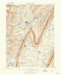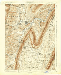
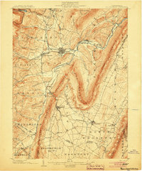
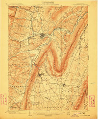
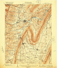
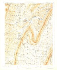
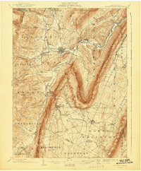
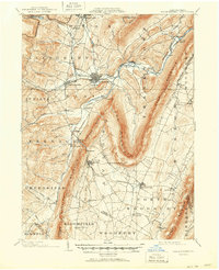
1903 Map of Hollidaysburg
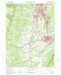
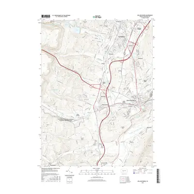
USGS Topo · Published 1938About this map
The Frankstown Branch Juniata River carves through the distinctive ridge-and-valley landscape of Blair County, anchoring a series of industrial and railroad settlements at the start of the 20th century. Hollidaysburg and Gaysport serve as central hubs where the Pennsylvania R. R. network converges, facilitating the transport of materials from local mines and the Ore Hill area. The topographic detail highlights the dramatic bends of Loop Mountain and Lock Mountain, which forced early engineers to follow narrow gaps and creek beds like Blair Gap Run.
Find a feature on this map
95 named features on this map. Tap any name to fly to it.
Don’t see what you’re looking for? This feature index may not catch every label — zoom into the map to look around manually.
Map Details
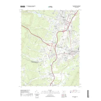
Editions of this 1903 Hollidaysburg Map
7 editions found
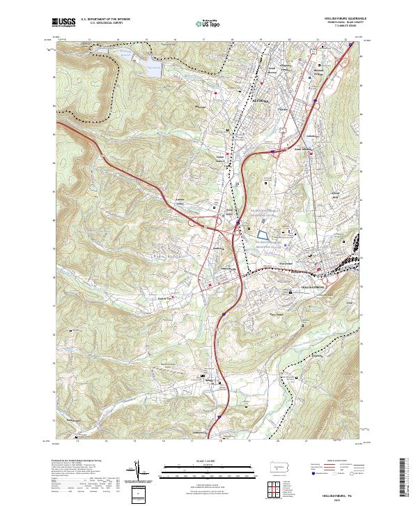
Historical Maps of Altoona Through Time
8 maps found