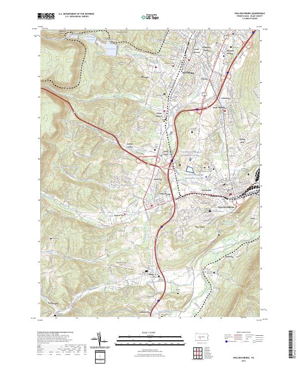
2023 Map of Hollidaysburg
USGS Topo · Published 2023About this map
Hollidaysburg and its surrounding borough-life in the Allegheny Mountains are detailed in this study of the landscape south of Altoona. The seat of government is centered at the Blair County Courthouse, while historical neighborhoods like Gaysport and Fort Fetter define the community's traditional layout. This area is defined by the significant descent of the mountains, noted by landmarks like Kittanning Point and the Kittanning Gap, which have historically facilitated passage through this high terrain.
Find a feature on this map
87 named features on this map. Tap any name to fly to it.
Don’t see what you’re looking for? This feature index may not catch every label — zoom into the map to look around manually.
Map Details
Editions of this 2023 Hollidaysburg Map
This is the sole edition of this map. No revisions or reprints were ever made.
Other maps of this area
1902 · Ebensburg
USGS Topo · 1:62,500
1902 · Patton
USGS Topo · 1:62,500
1902 · Hollidaysburg
USGS Topo · 1:62,500
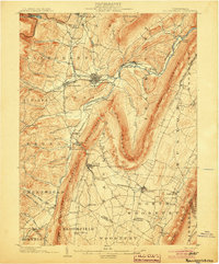
1903 · Hollidaysburg
USGS Topo · 1:62,500
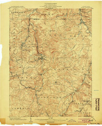
1904 · Patton
USGS Topo · 1:62,500
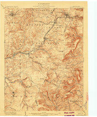
1904 · Ebensburg
USGS Topo · 1:62,500
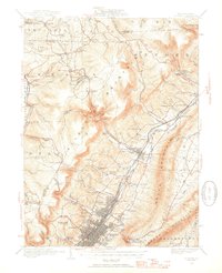
1920 · Altoona
USGS Topo · 1:62,500
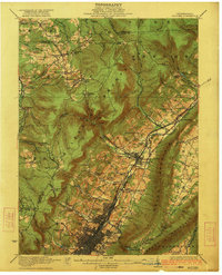
1922 · Altoona
USGS Topo · 1:62,500
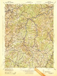
1943 · Punxsutawney
USGS Topo · 1:125,000

1953 · Pittsburgh
USGS Topo · 1:250,000