
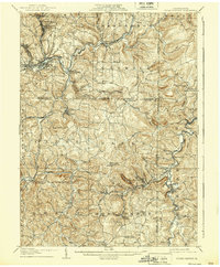
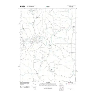
1943 Map of Punxsutawney
USGS Topo · Published 1943About this map
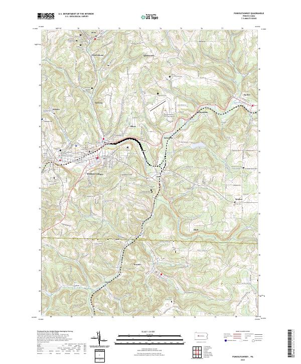
Punxsutawney and its surrounding coal and timber lands are documented here during the early 1940s, revealing a dense network of industrial rail lines and small mining settlements. The landscape is defined by the headwaters of the West Branch Susquehanna River and Mahoning Creek, which served as natural corridors for the B & O RR and Pa RR. These railroads connected numerous remote stops and junctions like Rossiter Junction and Cush Creek Junction, which were essential for moving local resources.
Find a feature on this map
211 named features on this map. Tap any name to fly to it.
Don’t see what you’re looking for? This feature index may not catch every label — zoom into the map to look around manually.
Map Details
Editions of this 1943 Punxsutawney Map
This is the sole edition of this map. No revisions or reprints were ever made.
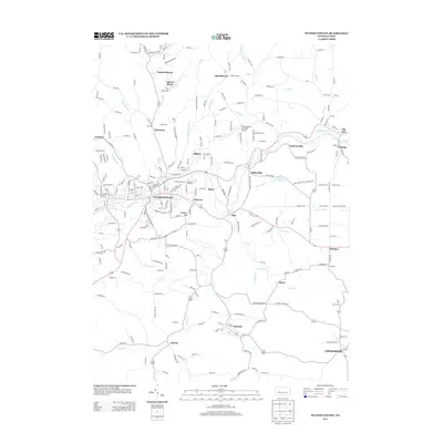
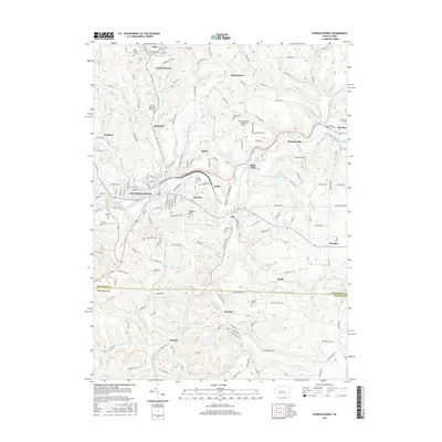
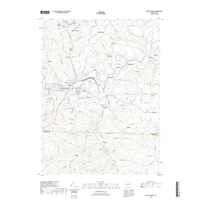
Historical Maps of Punxsutawney Through Time
10 maps found
1906 Punxsutawney
Jefferson County, PA
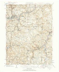
1939 Punxsutawney
Jefferson County, PA
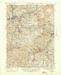
1942 Punxsutawney
Jefferson County, PA
1943 Punxsutawney
Jefferson County, PA
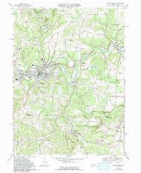
1968 Punxsutawney
Jefferson County, PA
2010 Punxsutawney
Jefferson County, PA
2013 Punxsutawney
Jefferson County, PA
2016 Punxsutawney
Jefferson County, PA
2019 Punxsutawney
Jefferson County, PA
2023 Punxsutawney
Jefferson County, PA