
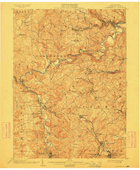
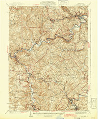
1903 Map of Curwensville
USGS Topo · Published 1903About this map
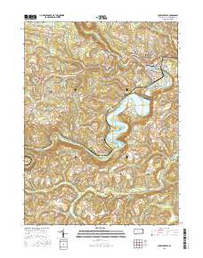
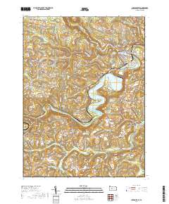
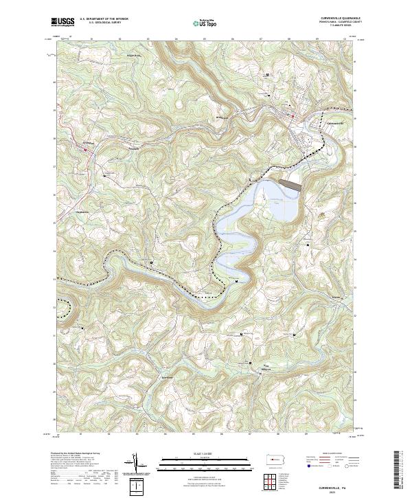
The West Branch Susquehanna River carves a winding path through this corner of Clearfield County, serving as the geographic spine for early twentieth-century industry and settlement. Industrial growth is clearly visible in the corridor of the Buffalo Rochester and Pittsburg RR and the Pennsylvania Central RR, which connect timbering and mining hubs like Curwensville and Mahaffey. The map reveals a landscape transitioning from the lumber-driven era of Lumber City to the coal extraction represented by the Wister Mine near Irvona. Small, scattered communities such as Bells Landing, Gazzam, and Grampian are shown at their peak development, often situated at the confluence of runs like Anderson Creek and Little Clearfield Creek. These settlements reflect the late nineteenth-century rail-and-river economy that defined central Pennsylvania’s hinterlands before modern infrastructure bypassed many of these narrow valley towns.
Find a feature on this map
94 named features on this map. Tap any name to fly to it.
Don’t see what you’re looking for? This feature index may not catch every label — zoom into the map to look around manually.
Map Details
Editions of this 1903 Curwensville Map
4 editions found
Historical Maps of Curwensville Through Time
9 maps found
1903 Curwensville
Clearfield County, PA
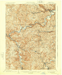
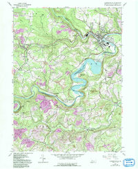
1939 Curwensville
Clearfield County, PA
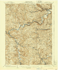
1942 Curwensville
Clearfield County, PA
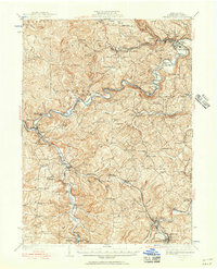
1959 Curwensville
Clearfield County, PA
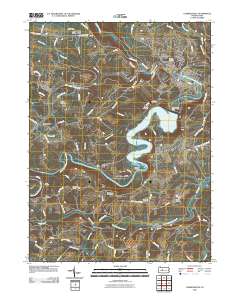
2010 Curwensville
Clearfield County, PA
2013 Curwensville
Clearfield County, PA
2016 Curwensville
Clearfield County, PA
2019 Curwensville
Clearfield County, PA
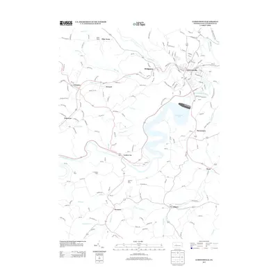
2023 Curwensville
Clearfield County, PA