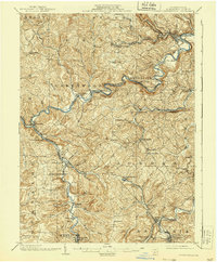
1903 Map of Curwensville
USGS Topo · Published 1939About this map
The West Branch Susquehanna River carves a winding path through the heart of Clearfield County, anchoring a landscape defined by timber-era settlements and expanding rail networks. Surveyed at the dawn of the century, the map reveals the critical junctions at Curwensville and Mahaffey, where the Pennsylvania RR and the New York Central and Hudson River RR converge. These transport lines were essential for the region's extraction economy, moving coal and lumber from the interior hills.
Find a feature on this map
92 named features on this map. Tap any name to fly to it.
Don’t see what you’re looking for? This feature index may not catch every label — zoom into the map to look around manually.
Map Details
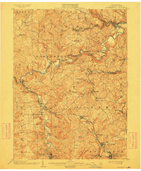
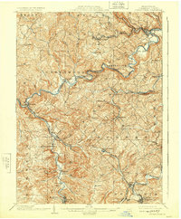
Editions of this 1903 Curwensville Map
4 editions found
Other maps of this area

1902 · Patton
USGS Topo · 1:62,500

1902 · Barnesboro
USGS Topo · 1:62,500

1903 · Curwensville
USGS Topo · 1:62,500

1903 · Houtzdale
USGS Topo · 1:62,500

1904 · Barnesboro
USGS Topo · 1:62,500

1904 · Patton
USGS Topo · 1:62,500

1905 · Houtzdale
USGS Topo · 1:62,500

1906 · Punxsutawney
USGS Topo · 1:62,500

1920 · Altoona
USGS Topo · 1:62,500

1922 · Altoona
USGS Topo · 1:62,500