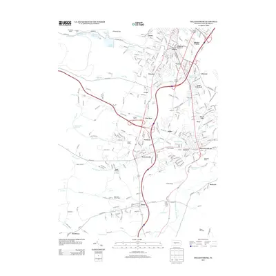
2013 Map of Hollidaysburg
USGS Topo · Published 2013About this map
The Hollidaysburg area is defined by its deep connection to the passage through the Allegheny Mountains, most famously represented by the Horseshoe Curve and Kittanning Gap at the northwestern edge of this 2013 survey. This landscape transitions from the residential suburbs of southern Altoona, including Eldorado and Llyswen, into the historic boroughs of Duncansville and the county seat. The layout of the region reflects its industrial and transportation heritage, with numerous reservoirs like Lake Altoona and Hollidaysburg Reservoir supporting the population centers.
Find a feature on this map
60 named features on this map. Tap any name to fly to it.
Don’t see what you’re looking for? This feature index may not catch every label — zoom into the map to look around manually.
Map Details
Editions of this 2013 Hollidaysburg Map
This is the sole edition of this map. No revisions or reprints were ever made.
Other maps of this area

1902 · Ebensburg
USGS Topo · 1:62,500

1902 · Patton
USGS Topo · 1:62,500

1902 · Hollidaysburg
USGS Topo · 1:62,500

1903 · Hollidaysburg
USGS Topo · 1:62,500

1904 · Patton
USGS Topo · 1:62,500

1904 · Ebensburg
USGS Topo · 1:62,500

1920 · Altoona
USGS Topo · 1:62,500

1922 · Altoona
USGS Topo · 1:62,500

1943 · Punxsutawney
USGS Topo · 1:125,000

1953 · Pittsburgh
USGS Topo · 1:250,000