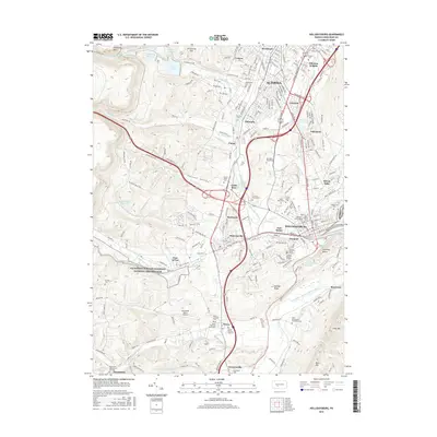
2016 Map of Hollidaysburg
USGS Topo · Published 2016About this map
Allegheny Portage Railroad National Historic Site anchors the western ridge of this landscape, marking the path of the mid-19th century engineering marvel that linked the eastern and western divisions of the Pennsylvania Main Line of Public Works. The terrain transitions from the steep grades of Kittanning Point and Kittanning Gap into the industrial and residential heart of Altoona and Hollidaysburg. Genealogists will find a dense concentration of burial sites, from the Holliday Burial Ground and Jackson Burial Ground near Gaysport to the Saint Patricks Old Cem in Newry. The map captures the complex water management system supporting the region, including the Ebensburg Reservoir and the Beaverdam Branch of the Frankstown Branch Juniata River, alongside the suburban expansion seen in Llyswen, Lakemont, and Sylvan Hills.
Find a feature on this map
193 named features on this map. Tap any name to fly to it.
Don’t see what you’re looking for? This feature index may not catch every label — zoom into the map to look around manually.
Map Details
Editions of this 2016 Hollidaysburg Map
This is the sole edition of this map. No revisions or reprints were ever made.
Other maps of this area

1902 · Ebensburg
USGS Topo · 1:62,500

1902 · Patton
USGS Topo · 1:62,500

1902 · Hollidaysburg
USGS Topo · 1:62,500

1903 · Hollidaysburg
USGS Topo · 1:62,500

1904 · Patton
USGS Topo · 1:62,500

1904 · Ebensburg
USGS Topo · 1:62,500

1920 · Altoona
USGS Topo · 1:62,500

1922 · Altoona
USGS Topo · 1:62,500

1943 · Punxsutawney
USGS Topo · 1:125,000

1953 · Pittsburgh
USGS Topo · 1:250,000