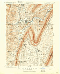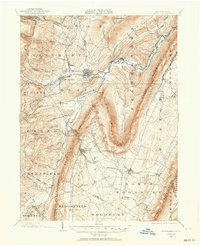
1902 Map of Hollidaysburg
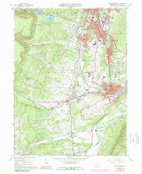
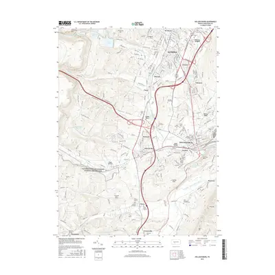
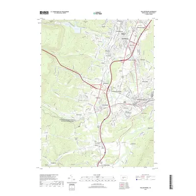
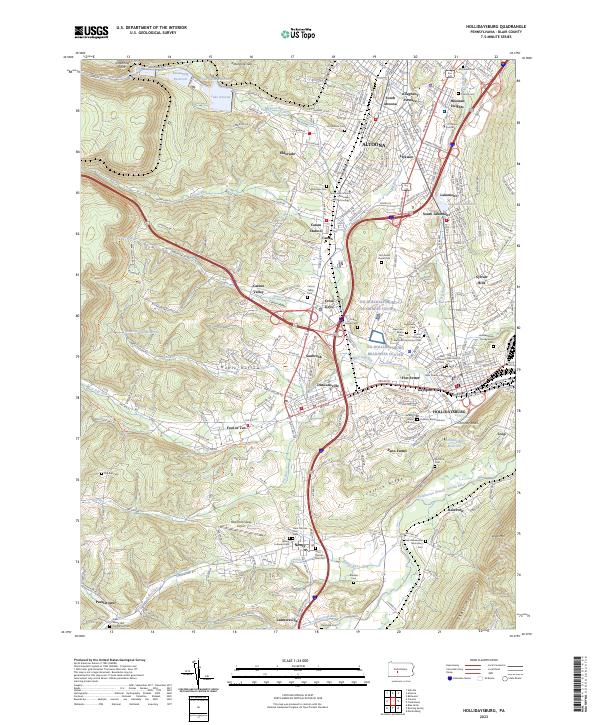
USGS Topo · Published 1964About this map
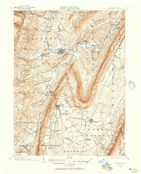
The Frankstown Branch Junata River carves a deep valley through the ridges of Blair County, anchoring a landscape defined by turn-of-the-century industry and transportation. Hollidaysburg and Gaysport serve as the central hub, where the Pennsylvania R. R. and the Altoona Div canal reservoir infrastructure intersect with local roads. This survey illustrates a complex pattern of resource extraction and community building, from the northern rail suburbs like Eldorado and Lakemont to the mining operations at Ore Hill and the appropriately named settlement of Mines to the southeast.
Find a feature on this map
90 named features on this map. Tap any name to fly to it.
Don’t see what you’re looking for? This feature index may not catch every label — zoom into the map to look around manually.
Map Details
Editions of this 1902 Hollidaysburg Map
2 editions found
Historical Maps of Altoona Through Time
8 maps found