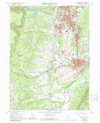
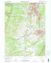
1963 Map of Hollidaysburg
USGS Topo · Published 1989About this map
Altoona and its southern suburbs define the northeastern corner of this Blair County landscape, where the Penn Central railroad navigates the steep climb of the Allegheny Front. The world-renowned Horseshoe Curve is a prominent engineering landmark here, helping trains gain elevation as they pass Kittanning Point. This era shows a dense network of institutional and civic anchors, from the Courthouse in Hollidaysburg to the sprawling grounds of the Hollidaysburg State Hospital and the VA Hospital near Hileman Heights.
Find a feature on this map
98 named features on this map. Tap any name to fly to it.
Don’t see what you’re looking for? This feature index may not catch every label — zoom into the map to look around manually.
Map Details
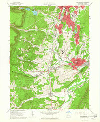
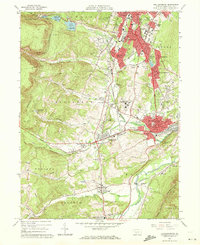
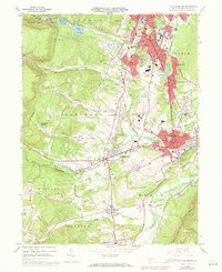
Editions of this 1963 Hollidaysburg Map
5 editions found
Other maps of this area

1902 · Ebensburg
USGS Topo · 1:62,500

1902 · Patton
USGS Topo · 1:62,500

1902 · Hollidaysburg
USGS Topo · 1:62,500

1903 · Hollidaysburg
USGS Topo · 1:62,500

1904 · Patton
USGS Topo · 1:62,500

1904 · Ebensburg
USGS Topo · 1:62,500

1920 · Altoona
USGS Topo · 1:62,500

1922 · Altoona
USGS Topo · 1:62,500

1943 · Punxsutawney
USGS Topo · 1:125,000

1953 · Pittsburgh
USGS Topo · 1:250,000