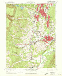
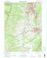
1963 Map of Hollidaysburg
USGS Topo · Published 1972About this map
Altoona and Hollidaysburg anchor this 1963 survey of the Logan Valley, showing the dense urban and industrial development that defined central Pennsylvania during the early 1960s. The northern edge features the renowned Horseshoe Curve, a critical engineering feat on the Pennsylvania railroad line, while the city of Altoona is shown in detail, including neighborhoods like Eldorado and Llyswen. Public institutions are prominent landmarks, ranging from the Va Hospital and Hollidaysburg State Hospital to the St Bernardines Monastery further south near Newry.
Find a feature on this map
101 named features on this map. Tap any name to fly to it.
Don’t see what you’re looking for? This feature index may not catch every label — zoom into the map to look around manually.
Map Details
Editions of this 1963 Hollidaysburg Map
5 editions found
Other maps of this area

1902 · Ebensburg
USGS Topo · 1:62,500

1902 · Patton
USGS Topo · 1:62,500

1902 · Hollidaysburg
USGS Topo · 1:62,500

1903 · Hollidaysburg
USGS Topo · 1:62,500

1904 · Patton
USGS Topo · 1:62,500

1904 · Ebensburg
USGS Topo · 1:62,500

1920 · Altoona
USGS Topo · 1:62,500

1922 · Altoona
USGS Topo · 1:62,500

1943 · Punxsutawney
USGS Topo · 1:125,000

1953 · Pittsburgh
USGS Topo · 1:250,000