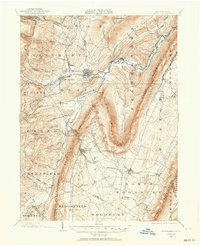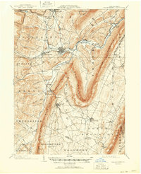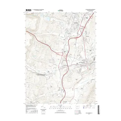
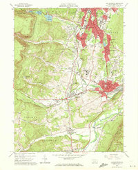
1963 Map of Hollidaysburg
USGS Topo · Published 1965About this map
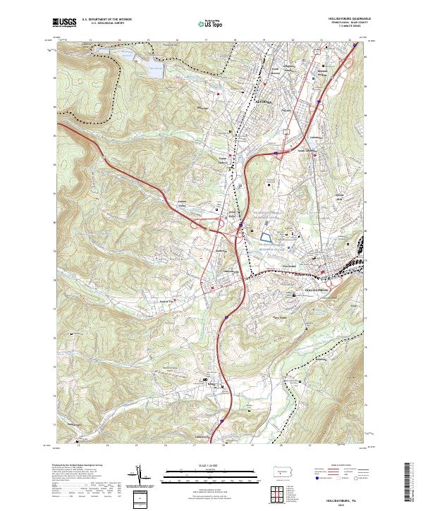
The industrial and institutional landscape of Blair County unfolds here in the early 1960s, anchored by the expansion of Altoona and Hollidaysburg. This survey documents a critical period of infrastructure, showing the Pennsylvania RR navigating the iconic Horseshoe Curve to the west, while the burgeoning suburbs of Llyswen, Eldorado, and South Lakemont fill the valley floor. The map is particularly rich in institutional history, detailing the sprawling grounds of the Hollidaysburg State Hospital, the VA Hospital, and St Bernardines Monastery.
Find a feature on this map
107 named features on this map. Tap any name to fly to it.
Don’t see what you’re looking for? This feature index may not catch every label — zoom into the map to look around manually.
Map Details
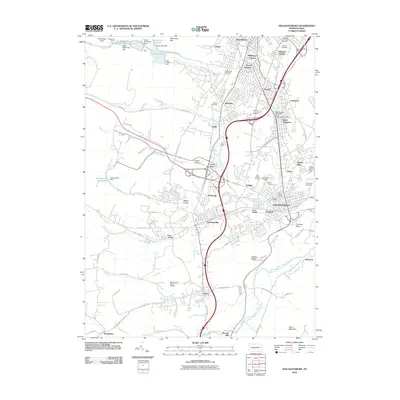
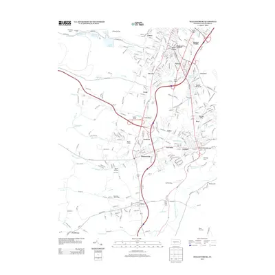
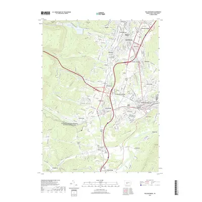
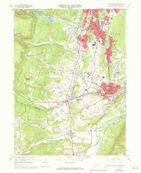
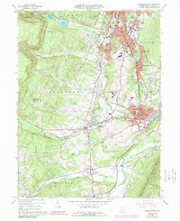
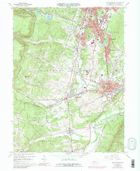
Editions of this 1963 Hollidaysburg Map
5 editions found
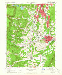
Historical Maps of Altoona Through Time
8 maps found