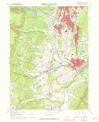
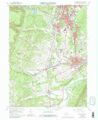
1963 Map of Hollidaysburg
USGS Topo · Published 1973About this map
Altoona and Hollidaysburg anchor this survey of Blair County's industrial and institutional heart during the early 1960s. The landscape is defined by the Penn Central rail infrastructure, including the world-famous Horseshoe Curve and numerous spurs serving local industry. Significant social and religious institutions are scattered throughout the valley, from the sprawling Hollidaysburg State Hospital to the St Bernadine Monastery and Allegheny Furnace, revealing the area's long-standing role as a regional hub for healthcare and production.
Find a feature on this map
98 named features on this map. Tap any name to fly to it.
Don’t see what you’re looking for? This feature index may not catch every label — zoom into the map to look around manually.
Map Details
Editions of this 1963 Hollidaysburg Map
5 editions found
Other maps of this area

1902 · Ebensburg
USGS Topo · 1:62,500

1902 · Patton
USGS Topo · 1:62,500

1902 · Hollidaysburg
USGS Topo · 1:62,500

1903 · Hollidaysburg
USGS Topo · 1:62,500

1904 · Patton
USGS Topo · 1:62,500

1904 · Ebensburg
USGS Topo · 1:62,500

1920 · Altoona
USGS Topo · 1:62,500

1922 · Altoona
USGS Topo · 1:62,500

1943 · Punxsutawney
USGS Topo · 1:125,000

1953 · Pittsburgh
USGS Topo · 1:250,000