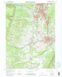
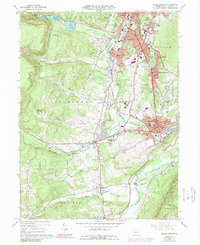
1963 Map of Hollidaysburg
USGS Topo · Published 1989About this map
Altoona and Hollidaysburg dominate this mid-century landscape where the Allegheny Front meets the complex ridge-and-valley terrain of Blair County. The industrial and transportation legacy of the region is evident in the dense network of the Penn Central railroad, which winds through the Blair Run gap and serves the rail-oriented neighborhoods of South Altoona and Eldorado. Significant institutional presence is marked by the Hollidaysburg State Hospital, the VA Hospital, and the St Bernadine Monastery.
Find a feature on this map
88 named features on this map. Tap any name to fly to it.
Don’t see what you’re looking for? This feature index may not catch every label — zoom into the map to look around manually.
Map Details
Editions of this 1963 Hollidaysburg Map
5 editions found
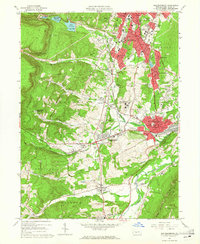
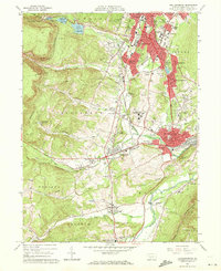
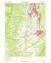
Other maps of this area

1902 · Ebensburg
USGS Topo · 1:62,500

1902 · Patton
USGS Topo · 1:62,500

1902 · Hollidaysburg
USGS Topo · 1:62,500

1903 · Hollidaysburg
USGS Topo · 1:62,500

1904 · Patton
USGS Topo · 1:62,500

1904 · Ebensburg
USGS Topo · 1:62,500

1920 · Altoona
USGS Topo · 1:62,500

1922 · Altoona
USGS Topo · 1:62,500

1943 · Punxsutawney
USGS Topo · 1:125,000

1953 · Pittsburgh
USGS Topo · 1:250,000