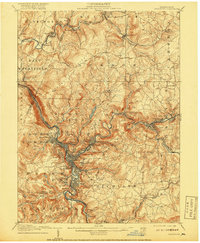
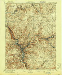
1907 Map of Johnstown
USGS Topo · Published 1918About this map
Johnstown and its surrounding coal and iron country are depicted here at the start of the 20th century, revealing a landscape deeply defined by the meeting of the Conemaugh River and Stony Creek. The region is a complex web of industrial infrastructure and residential clusters, where neighborhoods like Moxham, Morrellville, and Franklin follow the sharp bends of the waterways. Significant industrial markers include the Conemaugh Furnace and the Rager Mine, while the Old Portage RR Tunnel stands as a remnant of earlier transportation efforts.
Find a feature on this map
88 named features on this map. Tap any name to fly to it.
Don’t see what you’re looking for? This feature index may not catch every label — zoom into the map to look around manually.
Map Details
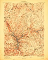
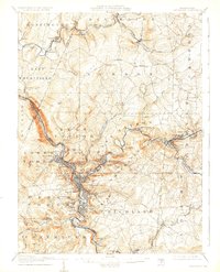
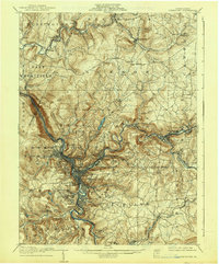
Editions of this 1907 Johnstown Map
6 editions found
Other maps of this area

1902 · Indiana
USGS Topo · 1:62,500

1902 · Ebensburg
USGS Topo · 1:62,500

1902 · Patton
USGS Topo · 1:62,500

1902 · Barnesboro
USGS Topo · 1:62,500

1904 · Barnesboro
USGS Topo · 1:62,500

1904 · Patton
USGS Topo · 1:62,500

1904 · Ebensburg
USGS Topo · 1:62,500

1904 · Johnstown
USGS Topo · 1:62,500

1907 · Johnstown
USGS Topo · 1:62,500

1908 · Bedford
USGS Topo · 1:62,500