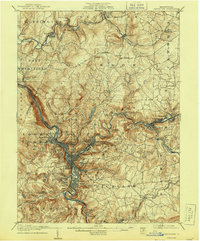
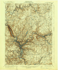
1907 Map of Johnstown
USGS Topo · Published 1944About this map
Johnstown and its surrounding coal-and-steel industrial landscape appear here in detail following a survey conducted between 1901 and 1904. The map reveals a densely settled river valley where the Conemaugh River serves as the central artery for heavy transport and commerce. The industrial heritage of the region is evident in the presence of the Pennsylvania RR and specialized sites like the Conemaugh Furnace.
Find a feature on this map
94 named features on this map. Tap any name to fly to it.
Don’t see what you’re looking for? This feature index may not catch every label — zoom into the map to look around manually.
Map Details
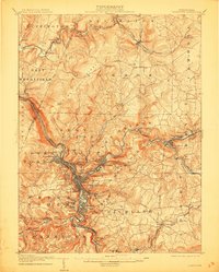
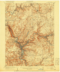
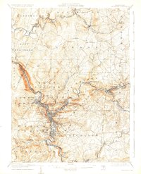
Editions of this 1907 Johnstown Map
6 editions found
Other maps of this area

1902 · Indiana
USGS Topo · 1:62,500

1902 · Ebensburg
USGS Topo · 1:62,500

1902 · Patton
USGS Topo · 1:62,500

1902 · Barnesboro
USGS Topo · 1:62,500

1904 · Barnesboro
USGS Topo · 1:62,500

1904 · Patton
USGS Topo · 1:62,500

1904 · Ebensburg
USGS Topo · 1:62,500

1904 · Johnstown
USGS Topo · 1:62,500

1907 · Johnstown
USGS Topo · 1:62,500

1908 · Bedford
USGS Topo · 1:62,500