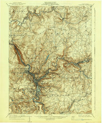
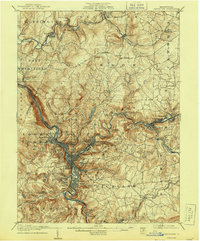
1907 Map of Johnstown
USGS Topo · Published 1938About this map
Johnstown serves as the industrial and topographic anchor of this region, situated at the confluence of the Conemaugh River and Stony Creek. The landscape is dominated by the steep ridges of Laurel Hill, which forces a dense concentration of settlements and transportation infrastructure into the narrow river valleys. The path of the Pennsylvania RR is critical to the area's development, winding through communities like Mineral Point and South Fork as it follows the water level. Evidence of earlier engineering feats is visible at the Old Portage RR Tunnel, a remnant of the historic transportation corridor through the mountains.
Find a feature on this map
94 named features on this map. Tap any name to fly to it.
Don’t see what you’re looking for? This feature index may not catch every label — zoom into the map to look around manually.
Map Details
Editions of this 1907 Johnstown Map
6 editions found
Other maps of this area

1902 · Indiana
USGS Topo · 1:62,500

1902 · Ebensburg
USGS Topo · 1:62,500

1902 · Patton
USGS Topo · 1:62,500

1902 · Barnesboro
USGS Topo · 1:62,500

1904 · Barnesboro
USGS Topo · 1:62,500

1904 · Patton
USGS Topo · 1:62,500

1904 · Ebensburg
USGS Topo · 1:62,500

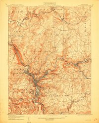
1904 · Johnstown
USGS Topo · 1:62,500

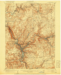
1907 · Johnstown
USGS Topo · 1:62,500

1908 · Bedford
USGS Topo · 1:62,500