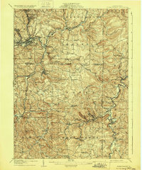
1906 Map of Punxsutawney
USGS Topo · Published 1929About this map
The West Branch Susquehanna River and Mahoning Creek anchor this early 20th-century landscape, where a dense network of railroads served the region's expanding industrial and coal mining operations. The primary hub of Punxsutawney is surrounded by established mining and industrial settlements like Walston, Adrian (De Lancey PO), and Rossiter. The dominance of the Buffalo Rochester and Pittsburg RR and the Pennsylvania RR illustrates the heavy reliance on rail transport to connect these interior mountain communities. Numerous smaller rural post offices and settlements such as Nashville (Ord PO) and Logan (Madeline PO) reflect the decentralized nature of local commerce and residency at the time. Prominent local landmarks including Doty Roundtop and Kinter Hill offer a topographical context for the winding routes of the Canoe Creek and Little Mahoning Creek.
Find a feature on this map
83 named features on this map. Tap any name to fly to it.
Don’t see what you’re looking for? This feature index may not catch every label — zoom into the map to look around manually.
Map Details
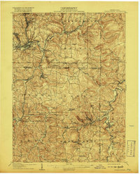
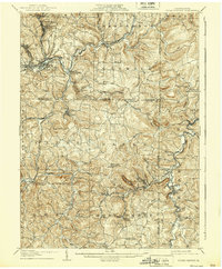
Editions of this 1906 Punxsutawney Map
4 editions found
Other maps of this area

1902 · Indiana
USGS Topo · 1:62,500

1902 · Patton
USGS Topo · 1:62,500

1902 · Barnesboro
USGS Topo · 1:62,500

1903 · Curwensville
USGS Topo · 1:62,500

1904 · Barnesboro
USGS Topo · 1:62,500

1904 · Patton
USGS Topo · 1:62,500

1906 · Punxsutawney
USGS Topo · 1:62,500

1909 · Smicksburg
USGS Topo · 1:62,500

1922 · Du Bois
USGS Topo · 1:62,500

1924 · Du Bois
USGS Topo · 1:62,500