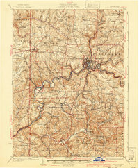
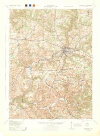
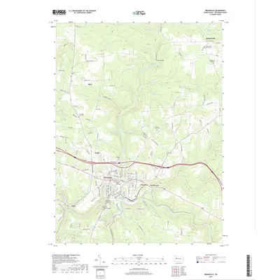
1926 Map of Brookville
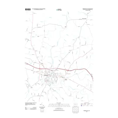
USGS Topo · Published 1941About this map
Brookville sits at the confluence of several critical waterways, where the North Fork and Sandy Lick Creek join to form Redbank Creek. This 1920s topography reveals a landscape heavily partitioned into townships like Eldred, Warsaw, and Clover, reflecting a settled agricultural and industrial interior. The density of rural education is a striking feature of this era, with numerous one-room schoolhouses such as Caldwell School, Oaks School, and Hazel Dell School dotting the hillsides, often named for the families they served.
Find a feature on this map
106 named features on this map. Tap any name to fly to it.
Don’t see what you’re looking for? This feature index may not catch every label — zoom into the map to look around manually.
Map Details
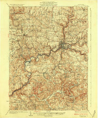
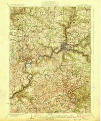
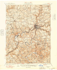
Editions of this 1926 Brookville Map
3 editions found
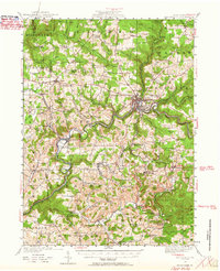
Historical Maps of Brookville Through Time
10 maps found
1924 Brookville
Jefferson County, PA
1926 Brookville
Jefferson County, PA
1944 Brookville
Jefferson County, PA
1949 Brookville
Jefferson County, PA
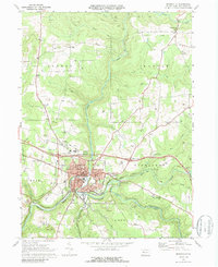
1969 Brookville
Jefferson County, PA
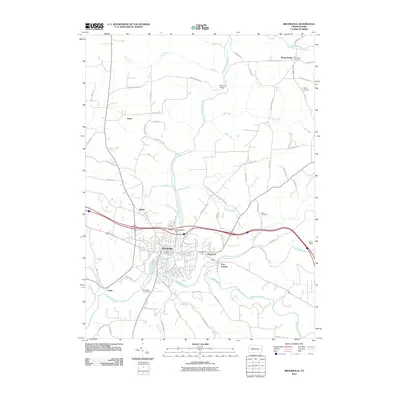
2010 Brookville
Jefferson County, PA
2013 Brookville
Jefferson County, PA

2016 Brookville
Jefferson County, PA
2019 Brookville
Jefferson County, PA
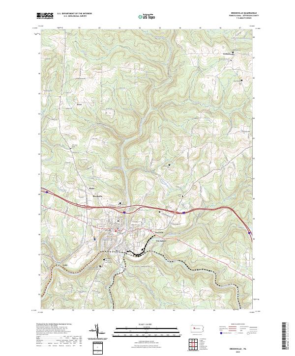
2023 Brookville
Jefferson County, PA