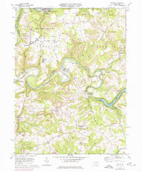
1969 Map of Distant
USGS Topo · Published 1975About this map
Mahoning Creek winds deeply through the heart of the Armstrong County countryside, shaped by a 1969 survey that captures the region's transition between industrial extraction and public recreation. The landscape is defined by the extensive strip mine operations that follow the contour lines above the river valleys, contrasted by the establishment of State Game Lands No 137 near Distant. Smaller settlements like Putneyville and Eddyville remain focal points for local navigation, while the Mahoning Creek Lake and its accompanying Mahoning Creek Dam illustrate mid-century water management efforts. Rural life is anchored by family-centered landmarks such as St Marks Ch and the Jerusalem Cem. Transportation is dominated by the winding path of the Pittsburg and Shawmut Railroad, which parallels the creek, and the Baltimore and Ohio tracks further south near Muff.
Find a feature on this map
38 named features on this map. Tap any name to fly to it.
Don’t see what you’re looking for? This feature index may not catch every label — zoom into the map to look around manually.
Map Details
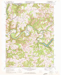
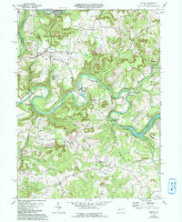
Editions of this 1969 Distant Map
3 editions found
Other maps of this area

1901 · Rural Valley
USGS Topo · 1:62,500

1903 · Rural Valley
USGS Topo · 1:62,500

1906 · Clarion
USGS Topo · 1:62,500

1907 · Clarion
USGS Topo · 1:62,500

1909 · Smicksburg
USGS Topo · 1:62,500

1924 · Brookville
USGS Topo · 1:62,500

1926 · Brookville
USGS Topo · 1:62,500

1938 · Smicksburg
USGS Topo · 1:62,500

1939 · Smicksburg
USGS Topo · 1:62,500

1944 · Brookville
USGS Topo · 1:62,500