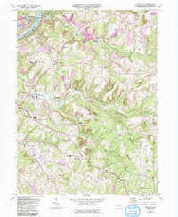
1968 Map of Mosgrove
USGS Topo · Published 1993About this map
Industrial history and rural community life define this section of Armstrong County, where the Allegheny River meets the winding Cowanshannock Creek. The landscape is heavily marked by energy extraction, with numerous strip mines and gas wells dotting the ridges between local hubs like Mosgrove and Bridgeburg. A notable legacy of early iron production remains at Pine Furnace, while the social fabric of the late 1960s is evidenced by numerous country churches, including Pine Creek Ch and Mt Zion Ch, and the Drive-in Theater near McNees.
Find a feature on this map
41 named features on this map. Tap any name to fly to it.
Don’t see what you’re looking for? This feature index may not catch every label — zoom into the map to look around manually.
Map Details
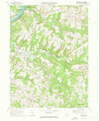
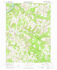
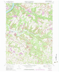
Editions of this 1968 Mosgrove Map
4 editions found
Other maps of this area

1900 · Kittanning
USGS Topo · 1:62,500

1901 · Rural Valley
USGS Topo · 1:62,500

1902 · Kittanning
USGS Topo · 1:62,500

1902 · Elders Ridge
USGS Topo · 1:62,500

1903 · Rural Valley
USGS Topo · 1:62,500

1904 · Elders Ridge
USGS Topo · 1:62,500

1907 · Freeport
USGS Topo · 1:62,500

1909 · Freeport
USGS Topo · 1:62,500

1953 · Pittsburgh
USGS Topo · 1:250,000

1954 · Pittsburgh
USGS Topo · 1:250,000