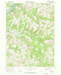
1968 Map of Mosgrove
USGS Topo · Published 1972About this map
The Allegheny River defines the western edge of this Armstrong County landscape, where the Penn Central and Baltimore and Ohio railroads parallel the water and branch into the interior. The terrain is deeply dissected by drainage systems like Cowanshannock Creek and Pine Creek, which once supported early industrial sites such as Pine Furnace. By the late 1960s, the land use shows a significant shift toward resource extraction, evidenced by numerous gas wells and strip mines scattered across the uplands of Rayburn and Valley townships. Local social centers are well-represented, from the Mosgrove Campgrounds near the river to rural landmarks like the Drive-in Theater and the Radio Tower on Blanket Hill. Genealogists will find many family-named features and religious sites, including Rupp Cem, Simpson Ch, and Pine Creek Ch.
Find a feature on this map
50 named features on this map. Tap any name to fly to it.
Don’t see what you’re looking for? This feature index may not catch every label — zoom into the map to look around manually.
Map Details
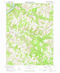
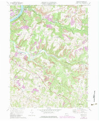
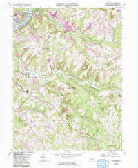
Editions of this 1968 Mosgrove Map
4 editions found
Other maps of this area

1900 · Kittanning
USGS Topo · 1:62,500

1901 · Rural Valley
USGS Topo · 1:62,500

1902 · Kittanning
USGS Topo · 1:62,500

1902 · Elders Ridge
USGS Topo · 1:62,500

1903 · Rural Valley
USGS Topo · 1:62,500

1904 · Elders Ridge
USGS Topo · 1:62,500

1907 · Freeport
USGS Topo · 1:62,500

1909 · Freeport
USGS Topo · 1:62,500

1953 · Pittsburgh
USGS Topo · 1:250,000

1954 · Pittsburgh
USGS Topo · 1:250,000