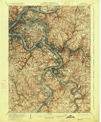
1907 Map of Pittsburgh
USGS Topo · Published 1926About this map
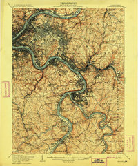
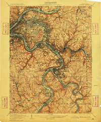
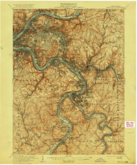
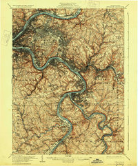
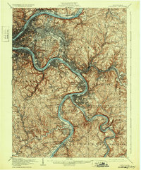
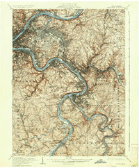
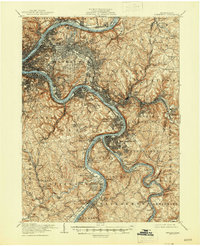
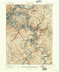
The Monongahela River and Allegheny River converge at the heart of this industrial landscape, where steep topography forced dense urban development into the valleys and onto prominent heights like Squirrel Hill. Surveyed at the turn of the century, the map reveals a region dominated by its transport network, from the heavy rail lines of the Pennsylvania RR and Pittsburgh and Lake Erie RR to the winding river divisions. The expansion of steel and manufacturing is evident in the sprawling growth of Homestead, Braddock, and Duquesne. Away from the riverbanks, residential life is marked by numerous large burial grounds, including the Allegheny Cem and Homewood Cem, while smaller settlements like Turtle Creek and Wilmerding cluster around the rail junctions that fueled the local economy during this era of rapid growth.
Find a feature on this map
126 named features on this map. Tap any name to fly to it.
Don’t see what you’re looking for? This feature index may not catch every label — zoom into the map to look around manually.
Map Details
Editions of this 1907 Pittsburgh Map
10 editions found

Other maps of this area

1901 · Amity
USGS Topo · 1:62,500

1902 · Brownsville
USGS Topo · 1:62,500

1902 · Connellsville
USGS Topo · 1:62,500

1904 · Amity
USGS Topo · 1:62,500

1904 · Mc Keesport
USGS Topo · 1:62,500

1904 · Carnegie
USGS Topo · 1:62,500

1904 · Greensburg
USGS Topo · 1:62,500

1906 · Brownsville
USGS Topo · 1:62,500

1906 · Carnegie
USGS Topo · 1:62,500

1906 · Greensburg
USGS Topo · 1:62,500