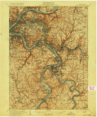
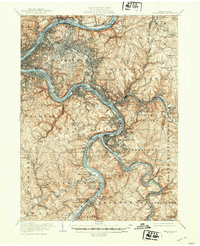
1907 Map of Pittsburgh
USGS Topo · Published 1915About this map
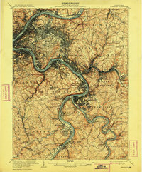
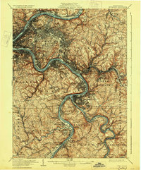
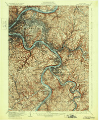
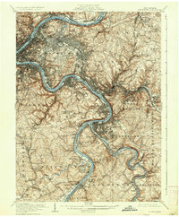
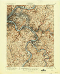
Industrial expansion and rail networks define this Pittsburgh landscape during the early 1900s. The Allegheny River, Monongahela River, and Youghiogheny River serve as the primary corridors for development, with heavy rail infrastructure such as the Pennsylvania RR and the Baltimore and Ohio RR hugging the water's edge. This period shows a densely packed urban core transitioning into sprawling industrial towns like Wilmerding and Bessemer, while large greenspaces like Schenley Park and Highland Park are already established landmarks.
Find a feature on this map
154 named features on this map. Tap any name to fly to it.
Don’t see what you’re looking for? This feature index may not catch every label — zoom into the map to look around manually.
Map Details
Editions of this 1907 Pittsburgh Map
10 editions found

Other maps of this area

1901 · Amity
USGS Topo · 1:62,500

1902 · Brownsville
USGS Topo · 1:62,500

1902 · Connellsville
USGS Topo · 1:62,500

1904 · Amity
USGS Topo · 1:62,500

1904 · Mc Keesport
USGS Topo · 1:62,500

1904 · Carnegie
USGS Topo · 1:62,500

1904 · Greensburg
USGS Topo · 1:62,500

1906 · Brownsville
USGS Topo · 1:62,500

1906 · Carnegie
USGS Topo · 1:62,500

1906 · Greensburg
USGS Topo · 1:62,500