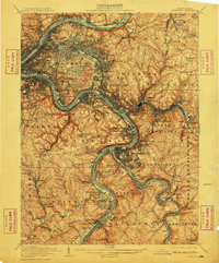
1907 Map of Pittsburg
USGS Topo · Published 1910About this map
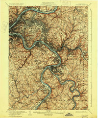
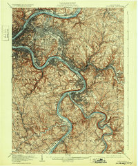
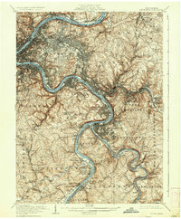
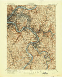
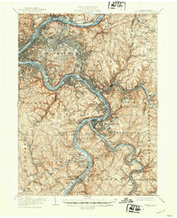
The industrial confluence of the Allegheny River and Monongahela River forms the heart of this early 20th-century urban landscape. The dense street grid of Pittsburg spreads eastward into Wilkinsburg, revealing a city shaped by its riverfronts and rising topography. Large-scale public spaces such as Highland Park and Schenley Park provide relief from the industrial corridors, while the massive Allegheny Cemetery stands as a significant landmark in the city's north.
Find a feature on this map
141 named features on this map. Tap any name to fly to it.
Don’t see what you’re looking for? This feature index may not catch every label — zoom into the map to look around manually.
Map Details
Editions of this 1907 Pittsburg Map
10 editions found

Other maps of this area

1901 · Amity
USGS Topo · 1:62,500

1902 · Brownsville
USGS Topo · 1:62,500

1902 · Connellsville
USGS Topo · 1:62,500

1904 · Amity
USGS Topo · 1:62,500

1904 · Mc Keesport
USGS Topo · 1:62,500

1904 · Carnegie
USGS Topo · 1:62,500

1904 · Greensburg
USGS Topo · 1:62,500

1906 · Brownsville
USGS Topo · 1:62,500

1906 · Carnegie
USGS Topo · 1:62,500

1906 · Greensburg
USGS Topo · 1:62,500