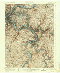
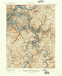
1907 Map of Pittsburgh
USGS Topo · Published 1937About this map
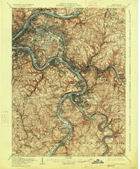
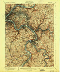
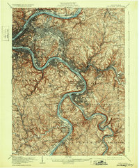
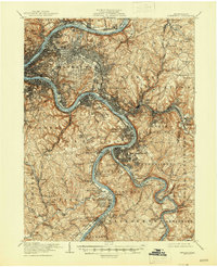
The Allegheny River and Monongahela River converge to form the Ohio River at the heart of this industrial landscape during the early 1900s. The dense street grids of Pittsburgh and Wilkinsburg give way to a complex network of transportation and heavy industry along the riverbanks. The map illustrates the massive rail infrastructure that defined the region, including the Pennsylvania RR, Baltimore and Ohio RR, and the Union RR, which serviced the steel-producing centers of Homestead, Braddock, and North Braddock.
Find a feature on this map
144 named features on this map. Tap any name to fly to it.
Don’t see what you’re looking for? This feature index may not catch every label — zoom into the map to look around manually.
Map Details
Editions of this 1907 Pittsburgh Map
10 editions found

Other maps of this area

1901 · Amity
USGS Topo · 1:62,500

1902 · Brownsville
USGS Topo · 1:62,500

1902 · Connellsville
USGS Topo · 1:62,500

1904 · Amity
USGS Topo · 1:62,500

1904 · Mc Keesport
USGS Topo · 1:62,500

1904 · Carnegie
USGS Topo · 1:62,500

1904 · Greensburg
USGS Topo · 1:62,500

1906 · Brownsville
USGS Topo · 1:62,500

1906 · Carnegie
USGS Topo · 1:62,500

1906 · Greensburg
USGS Topo · 1:62,500