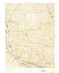
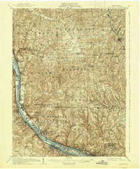
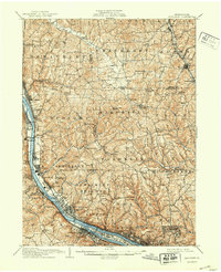
1908 Map of Sewickley
USGS Topo · Published 1925About this map
The Ohio River corridor serves as the industrial and transit spine for this region north of Pittsburgh, where the Pennsylvania System and the Pittsburgh Fort Wayne and Chicago RR hug the riverbank through Ambridge, Conway, and Baden. This early 20th-century landscape is defined by its transition from dense riverfront settlements to the upland plateaus of Marshall and Cranberry townships.
Find a feature on this map
105 named features on this map. Tap any name to fly to it.
Don’t see what you’re looking for? This feature index may not catch every label — zoom into the map to look around manually.
Map Details
Editions of this 1908 Sewickley Map
7 editions found

Other maps of this area

1901 · Beaver
USGS Topo · 1:62,500

1902 · New Castle
USGS Topo · 1:62,500

1904 · Newcastle
USGS Topo · 1:62,500

1904 · Mc Keesport
USGS Topo · 1:62,500

1904 · Beaver
USGS Topo · 1:62,500

1904 · Carnegie
USGS Topo · 1:62,500

1904 · Burgettstown
USGS Topo · 1:62,500

1906 · Burgettstown
USGS Topo · 1:62,500

1906 · Carnegie
USGS Topo · 1:62,500

1906 · Sewickley
USGS Topo · 1:62,500