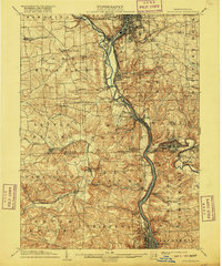
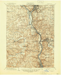
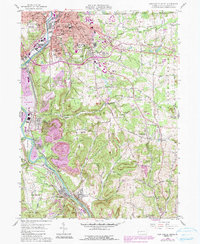
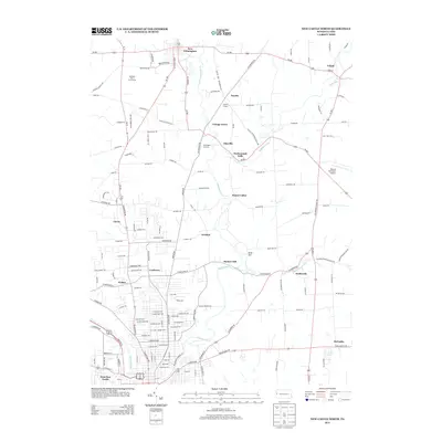
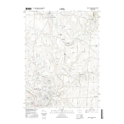
1904 Map of Newcastle
USGS Topo · Published 1916About this map
Industrial valleys and river junctions define this landscape at the dawn of the twentieth century, where the Mahoning River and Shenango River converge to form the Beaver River. The dominance of the rail industry is clear, with the Pittsburgh and Lake Erie R.R. and several Pennsylvania R.R. divisions threading through steep topography to connect manufacturing centers like Ellwood City and Beaver Falls.
Find a feature on this map
85 named features on this map. Tap any name to fly to it.
Don’t see what you’re looking for? This feature index may not catch every label — zoom into the map to look around manually.
Map Details
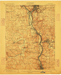
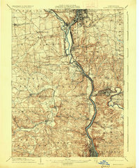
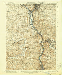
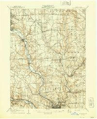
Editions of this 1904 Newcastle Map
6 editions found

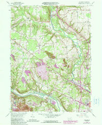
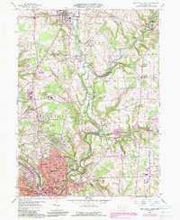
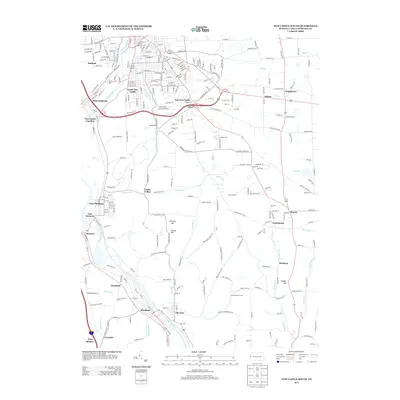
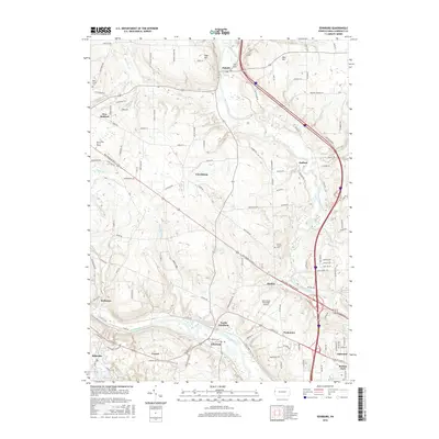
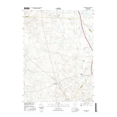
Historical Maps of New Castle Through Time
26 maps found

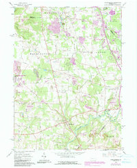
1905 Neshannock
Lawrence County, PA
1907 Neshannock
Lawrence County, PA
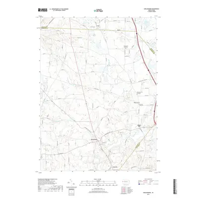
1958 Edinburg
Lawrence County, PA
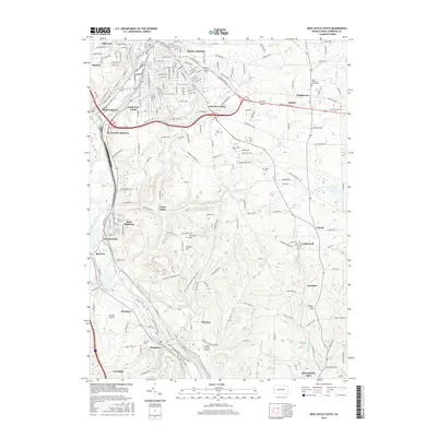
1958 New Castle North
Lawrence County, PA
1958 New Castle South
Lawrence County, PA
1961 Harlansburg
Lawrence County, PA
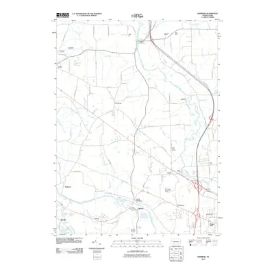
2010 Edinburg
Lawrence County, PA
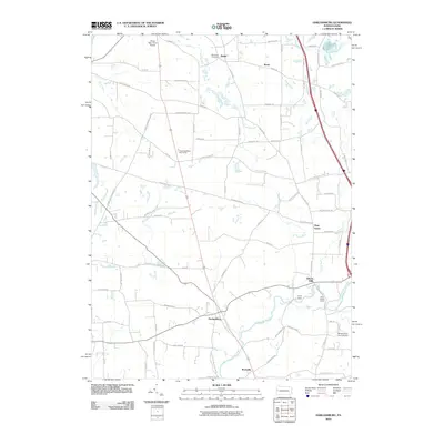
2010 Harlansburg
Lawrence County, PA
2010 New Castle North
Lawrence County, PA
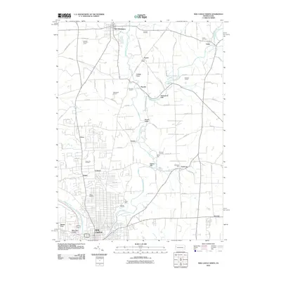
2010 New Castle South
Lawrence County, PA
2013 Edinburg
Lawrence County, PA
2013 Harlansburg
Lawrence County, PA
2013 New Castle North
Lawrence County, PA
2013 New Castle South
Lawrence County, PA
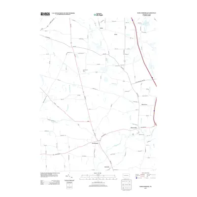
2016 Edinburg
Lawrence County, PA
2016 Harlansburg
Lawrence County, PA
2016 New Castle North
Lawrence County, PA
2016 New Castle South
Lawrence County, PA
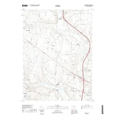
2019 Edinburg
Lawrence County, PA
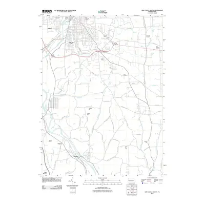
2019 Harlansburg
Lawrence County, PA
2019 New Castle North
Lawrence County, PA
2019 New Castle South
Lawrence County, PA
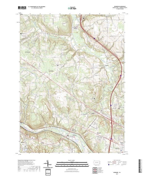
2023 Edinburg
Lawrence County, PA
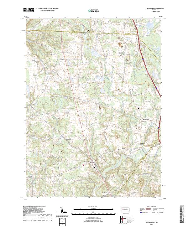
2023 Harlansburg
Lawrence County, PA
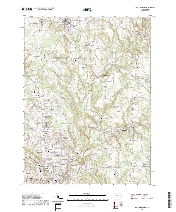
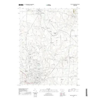
2023 New Castle North
Lawrence County, PA
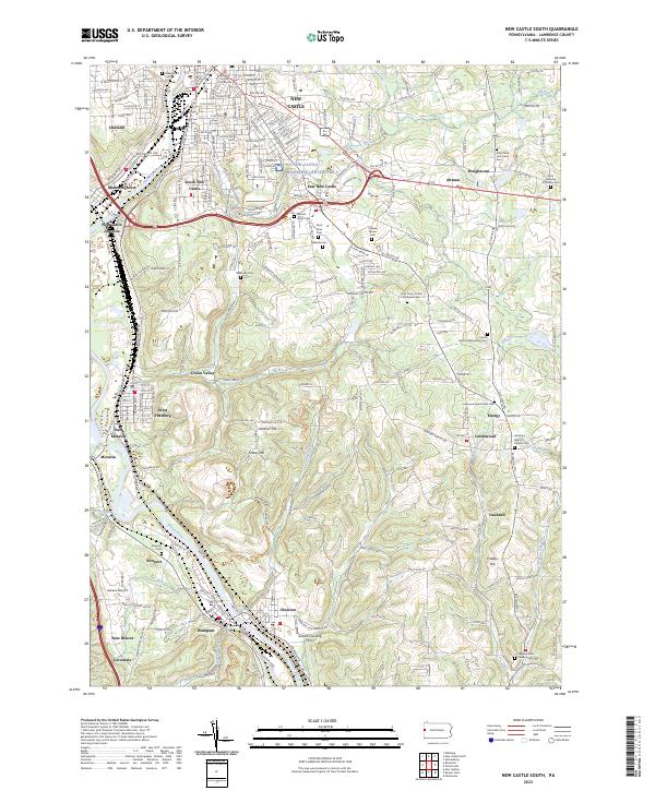
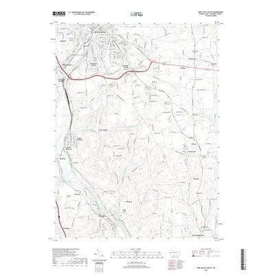
2023 New Castle South
Lawrence County, PA