
1907 Map of Neshannock
USGS Topo · Published 1907About this map
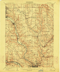
Industrial development and rural life intersect along the Shenango River corridor during the early 1900s. Significant rail infrastructure, including the Erie RR and Pennsylvania RR, connects established centers like Sharon and Wheatland to smaller junctions and freight stops. The landscape is dotted with localized educational and spiritual hubs, such as the Wilson School, Mitchell School, and the Rich Hill Church.
Find a feature on this map
90 named features on this map. Tap any name to fly to it.
Don’t see what you’re looking for? This feature index may not catch every label — zoom into the map to look around manually.
Map Details
Editions of this 1907 Neshannock Map
5 editions found
Other maps of this area

1902 · New Castle
USGS Topo · 1:62,500

1904 · Newcastle
USGS Topo · 1:62,500

1905 · Neshannock
USGS Topo · 1:62,500

1906 · Youngstown
USGS Topo · 1:62,500

1907 · Kinsman
USGS Topo · 1:62,500

1907 · Columbiana
USGS Topo · 1:62,500

1908 · Shenango
USGS Topo · 1:62,500

1908 · Youngstown
USGS Topo · 1:62,500

1908 · Zelienople
USGS Topo · 1:62,500

1909 · Columbiana
USGS Topo · 1:62,500