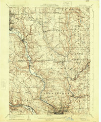
1907 Map of Neshannock
USGS Topo · Published 1925About this map
New Castle serves as a dense industrial anchor in the southern portion of this landscape, where the Mahoning River and Shenango River converge. This 1905 survey, published in 1925, reveals a region defined by its complex transportation network, featuring the Erie RR, Pennsylvania RR, and the Baltimore and Ohio RR. The prevalence of named stations like Oakland Sta and Wilmington Junction underscores the importance of rail transit to the local economy during the early twentieth century.
Find a feature on this map
79 named features on this map. Tap any name to fly to it.
Don’t see what you’re looking for? This feature index may not catch every label — zoom into the map to look around manually.
Map Details
Editions of this 1907 Neshannock Map
5 editions found
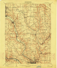
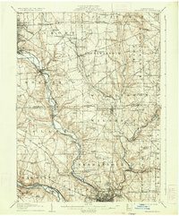
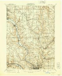
Other maps of this area

1902 · New Castle
USGS Topo · 1:62,500

1904 · Newcastle
USGS Topo · 1:62,500

1905 · Neshannock
USGS Topo · 1:62,500

1906 · Youngstown
USGS Topo · 1:62,500

1907 · Neshannock
USGS Topo · 1:62,500

1907 · Kinsman
USGS Topo · 1:62,500

1907 · Columbiana
USGS Topo · 1:62,500

1908 · Shenango
USGS Topo · 1:62,500

1908 · Youngstown
USGS Topo · 1:62,500

1908 · Zelienople
USGS Topo · 1:62,500