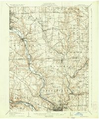
1907 Map of Neshannock
USGS Topo · Published 1934About this map
The Shenango River and Mahoning River valleys define the industrial and agricultural landscape of this Western Pennsylvania region at the turn of the century. The map highlights a dense network of early 20th-century transportation, where the Erie RR, Pennsylvania RR, and Baltimore and Ohio RR converge to support the growing steel and manufacturing hubs of Sharon, South Sharon, and West Newcastle. Away from the river corridors, the landscape transitions into established township life, marked by numerous rural education sites like Wilson School and Shepard School.
Find a feature on this map
97 named features on this map. Tap any name to fly to it.
Don’t see what you’re looking for? This feature index may not catch every label — zoom into the map to look around manually.
Map Details
Editions of this 1907 Neshannock Map
5 editions found
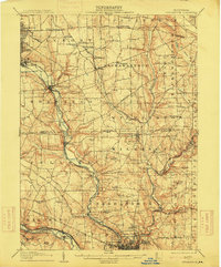
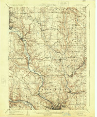
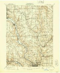
Other maps of this area

1902 · New Castle
USGS Topo · 1:62,500

1904 · Newcastle
USGS Topo · 1:62,500

1905 · Neshannock
USGS Topo · 1:62,500

1906 · Youngstown
USGS Topo · 1:62,500

1907 · Neshannock
USGS Topo · 1:62,500

1907 · Kinsman
USGS Topo · 1:62,500

1907 · Columbiana
USGS Topo · 1:62,500

1908 · Shenango
USGS Topo · 1:62,500

1908 · Youngstown
USGS Topo · 1:62,500

1908 · Zelienople
USGS Topo · 1:62,500