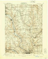
1907 Map of Neshannock
USGS Topo · Published 1944About this map
The Shenango River and Mahoning River valleys define this industrial and agricultural corridor at the turn of the century. Heavy rail infrastructure, including the Erie and Pittsburgh RR and the Baltimore and Ohio RR, follows the riverbanks to serve coal and manufacturing hubs like Sharon and South Sharon. This 1905 survey captures the landscape just as many rural crossroads were transitioning into railroad junctions and mining settlements. Away from the river valleys, the map details a dense network of one-room schoolhouses and country churches, such as Mitchell School and White Chapel, which supported the dispersed farming communities of Lackawannock and Hickory townships. Small hamlets like Pulaski and New Wilmington appear at their early twentieth-century peak, before modern highways altered the local navigation patterns established by the early Pittsburgh Road.
Find a feature on this map
89 named features on this map. Tap any name to fly to it.
Don’t see what you’re looking for? This feature index may not catch every label — zoom into the map to look around manually.
Map Details
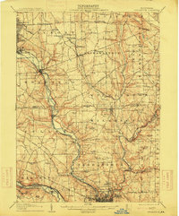
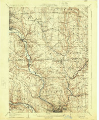
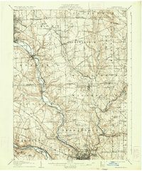
Editions of this 1907 Neshannock Map
5 editions found
Other maps of this area

1902 · New Castle
USGS Topo · 1:62,500

1904 · Newcastle
USGS Topo · 1:62,500

1905 · Neshannock
USGS Topo · 1:62,500

1906 · Youngstown
USGS Topo · 1:62,500

1907 · Neshannock
USGS Topo · 1:62,500

1907 · Kinsman
USGS Topo · 1:62,500

1907 · Columbiana
USGS Topo · 1:62,500

1908 · Shenango
USGS Topo · 1:62,500

1908 · Youngstown
USGS Topo · 1:62,500

1908 · Zelienople
USGS Topo · 1:62,500