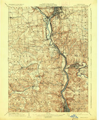
1904 Map of Newcastle
USGS Topo · Published 1927About this map
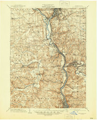
The Beaver River corridor serves as a busy industrial and transportation spine through Lawrence and Beaver counties at the start of the 20th century. Major rail networks, including the Pennsylvania and the Pittsburgh and Lake Erie RR, converge at critical junctions like Mahoningtown and Newcastle Junction, illustrating the area's role as a vital manufacturing hub. The map captures the dense urban development of Newcastle in the north and Ellwood City to the east, while smaller industrial settlements like West Pittsburg and Bessemer emphasize the extraction and processing economy of the era.
Find a feature on this map
84 named features on this map. Tap any name to fly to it.
Don’t see what you’re looking for? This feature index may not catch every label — zoom into the map to look around manually.
Map Details
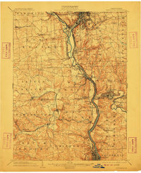
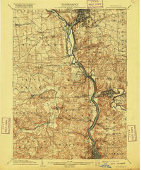
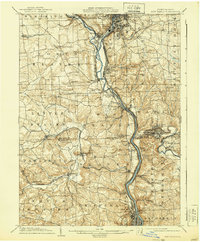
Editions of this 1904 Newcastle Map
6 editions found
Other maps of this area

1901 · Beaver
USGS Topo · 1:62,500

1902 · New Castle
USGS Topo · 1:62,500

1904 · Newcastle
USGS Topo · 1:62,500

1904 · Wellsville
USGS Topo · 1:62,500

1904 · Beaver
USGS Topo · 1:62,500

1905 · Neshannock
USGS Topo · 1:62,500

1906 · Youngstown
USGS Topo · 1:62,500

1906 · Sewickley
USGS Topo · 1:62,500

1907 · Neshannock
USGS Topo · 1:62,500

1907 · Columbiana
USGS Topo · 1:62,500