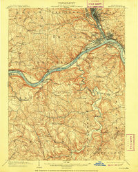
1904 Map of Beaver
USGS Topo · Published 1909About this map
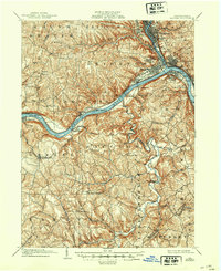
The confluence of the Beaver River and the Ohio River anchors this industrial and transportation corridor at the turn of the century. Large riverfront settlements like Beaver Falls, New Brighton, and Rochester cluster along the narrow valley floors, while the surrounding plateaus are dominated by rural townships such as Chippewa and Raccoon. The landscape is defined by the heavy infrastructure of the era, including the Pennsylvania and Pittsburg Railroad and early navigational structures like Dam No. 6 and Dam No. 5. These dams, alongside established crossing points like Cooks Ferry near Shippingport, illustrate a river system transitioning from traditional flatboat transit to a modern industrial waterway. Further downstream, smaller hamlets such as Smiths Ferry and Georgetown occupy the river bends, serving as vital links between the rugged interior of Greene township and the main trade routes.
Find a feature on this map
105 named features on this map. Tap any name to fly to it.
Don’t see what you’re looking for? This feature index may not catch every label — zoom into the map to look around manually.
Map Details
Editions of this 1904 Beaver Map
6 editions found
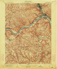
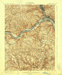
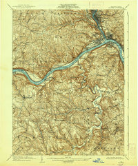
Other maps of this area

1901 · Beaver
USGS Topo · 1:62,500

1902 · New Castle
USGS Topo · 1:62,500

1904 · Newcastle
USGS Topo · 1:62,500

1904 · Wellsville
USGS Topo · 1:62,500

1904 · Steubenville
USGS Topo · 1:62,500

1904 · Beaver
USGS Topo · 1:62,500

1904 · Carnegie
USGS Topo · 1:62,500

1904 · Burgettstown
USGS Topo · 1:62,500

1906 · Burgettstown
USGS Topo · 1:62,500

1906 · Carnegie
USGS Topo · 1:62,500