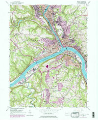
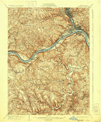
1904 Map of Beaver
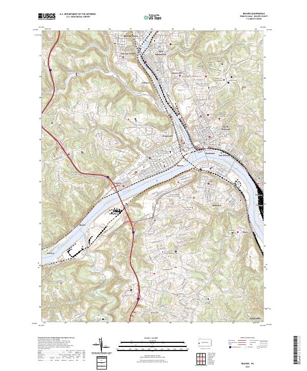
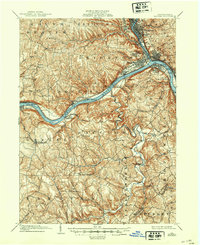
USGS Topo · Published 1938About this map
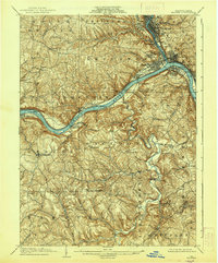
The Ohio River and Beaver River form the industrial and geographic backbone of this region, where the convergence of several major rail lines once defined the local economy. At the turn of the century, the Cleveland and Pittsburg and Pittsburg and Lake Erie railroads serviced a dense corridor of river towns including Beaver, Rochester, and Monaca. The landscape is marked by the early infrastructure of river navigation, notably Dam No. 5 and Dam No. 6, which were essential for managing the heavy barge traffic of the era. South of the river, the terrain transitions into a series of steep ridges and hollows drained by Raccoon Creek, where smaller settlements like Shippingport and Holt stood in contrast to the booming industrial centers to the north. This survey provides a record of the riverfront before modern navigational improvements significantly altered the shoreline and the footprint of early river landings like Bakers Landing.
Find a feature on this map
87 named features on this map. Tap any name to fly to it.
Don’t see what you’re looking for? This feature index may not catch every label — zoom into the map to look around manually.
Map Details
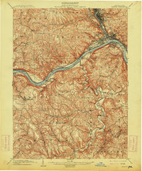
Editions of this 1904 Beaver Map
6 editions found


Historical Maps of Moon Township Through Time
4 maps found