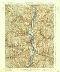
1904 Map of Steubenville
USGS Topo · Published 1938About this map
The Ohio River corridor serves as the industrial and transportation backbone of this tri-state region at the turn of the century, dividing the hills of Jefferson County, Ohio, from the West Virginia panhandle and the western edge of Pennsylvania. The city of Steubenville dominates the western bank, flanked by developing neighborhoods like La Belle View and Pleasant Heights. A dense network of steam-era rail lines, including the P C C and St L RR and the Wheeling and Lake Erie RR, trace the riverbanks and cut through the interior to support the region's burgeoning iron and coal economy.
Find a feature on this map
84 named features on this map. Tap any name to fly to it.
Don’t see what you’re looking for? This feature index may not catch every label — zoom into the map to look around manually.
Map Details
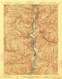
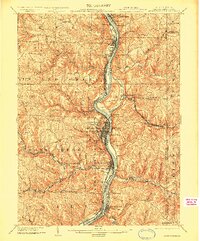
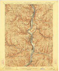
Editions of this 1904 Steubenville Map
5 editions found
Other maps of this area

1901 · Cadiz
USGS Topo · 1:62,500

1901 · Beaver
USGS Topo · 1:62,500

1902 · Wheeling
USGS Topo · 1:62,500

1903 · Cadiz
USGS Topo · 1:62,500

1904 · Wellsville
USGS Topo · 1:62,500

1904 · Steubenville
USGS Topo · 1:62,500

1904 · Beaver
USGS Topo · 1:62,500

1904 · Burgettstown
USGS Topo · 1:62,500

1905 · St. Clairsville
USGS Topo · 1:62,500

1905 · Salineville
USGS Topo · 1:62,500