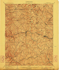
1906 Map of Burgettstown
USGS Topo · Published 1911About this map
Burgettstown and the surrounding coal-rich townships of Washington and Allegheny counties are captured here during a period of intense industrial and rail expansion. The landscape is defined by the convergence of major transit lines, notably the Pittsburgh Cincinnati Chicago and St Louis RR, which links settlements like Midway and Bulger to the broader regional economy. Evidence of the burgeoning extraction industry is visible at the Francis Mine and Shaw Mine, highlighting the area's transition toward industrialization.
Find a feature on this map
75 named features on this map. Tap any name to fly to it.
Don’t see what you’re looking for? This feature index may not catch every label — zoom into the map to look around manually.
Map Details
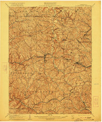
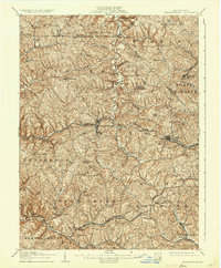
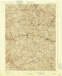
Editions of this 1906 Burgettstown Map
5 editions found
Other maps of this area

1901 · Amity
USGS Topo · 1:62,500

1901 · Beaver
USGS Topo · 1:62,500

1902 · Wheeling
USGS Topo · 1:62,500

1904 · Amity
USGS Topo · 1:62,500

1904 · Wellsville
USGS Topo · 1:62,500

1904 · Steubenville
USGS Topo · 1:62,500

1904 · Beaver
USGS Topo · 1:62,500

1904 · Carnegie
USGS Topo · 1:62,500

1904 · Burgettstown
USGS Topo · 1:62,500

1906 · Burgettstown
USGS Topo · 1:62,500
Featured Places
- Cecil Township, PA
- Independence Township, PA
- Robinson Township, PA
- Cross Creek Township, PA
- Independence Township, PA