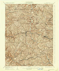
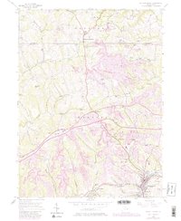
1906 Map of Burgettstown
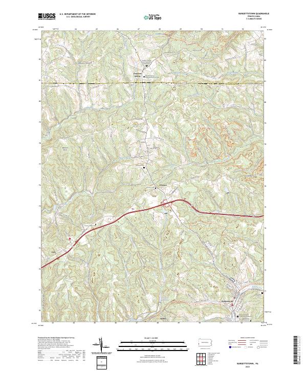
USGS Topo · Published 1935About this map
Raccoon Creek and Cross Creek carve through the dissected plateau of Washington County, defining a landscape where industrial infrastructure meets small agricultural hubs. In this early twentieth-century survey, the Pennsylvania RR and the Wabash Pittsburgh Terminal Ry provide critical connections for the region's burgeoning extraction economy, specifically serving the Francis Mine and Star Mine. Central to the map, Burgettstown stands as a primary settlement, surrounded by smaller communities such as Eldersville and Frankfort Springs.
Find a feature on this map
56 named features on this map. Tap any name to fly to it.
Don’t see what you’re looking for? This feature index may not catch every label — zoom into the map to look around manually.
Map Details
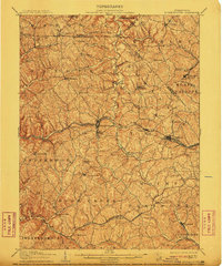
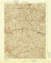
Editions of this 1906 Burgettstown Map
5 editions found

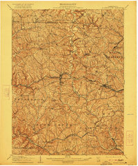
Historical Maps of Cecil Township Through Time
4 maps found

Featured Locations
- Cecil Township, PA
- Independence Township, PA
- Robinson Township, PA
- Cross Creek Township, PA
- Independence Township, PA