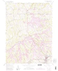
1954 Map of Burgettstown
USGS Topo · Published 1979About this map
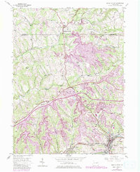
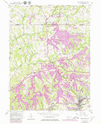
The industrial and recreational landscapes of northern Washington County intersect in this mid-century portrait, where the Burgettstown borough serves as a hub for the surrounding townships. Extensive Strip Mine operations dominate the topography between Frankfort Springs and Florence, illustrating the intensive coal extraction that defined the local economy during this era. These mining tracts are often bounded by emerging conservation efforts, including Raccoon Creek State Park to the north and Hillman State Park near the center of the sheet.
Find a feature on this map
34 named features on this map. Tap any name to fly to it.
Don’t see what you’re looking for? This feature index may not catch every label — zoom into the map to look around manually.
Map Details
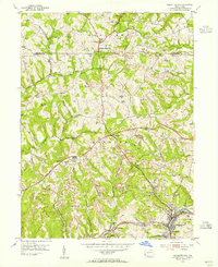
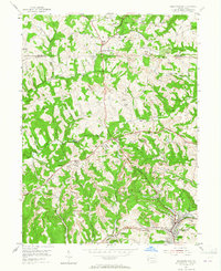
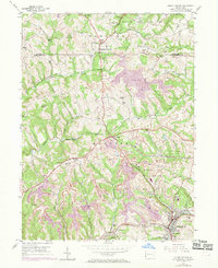
Editions of this 1954 Burgettstown Map
6 editions found
Other maps of this area

1901 · Beaver
USGS Topo · 1:62,500

1904 · Wellsville
USGS Topo · 1:62,500

1904 · Steubenville
USGS Topo · 1:62,500

1904 · Beaver
USGS Topo · 1:62,500

1904 · Burgettstown
USGS Topo · 1:62,500

1906 · Burgettstown
USGS Topo · 1:62,500

1935 · Steubenville
USGS Topo · 1:62,500

1937 · Wellsville
USGS Topo · 1:62,500

1942 · Steubenville
USGS Topo · 1:62,500

1944 · Wellsville
USGS Topo · 1:62,500