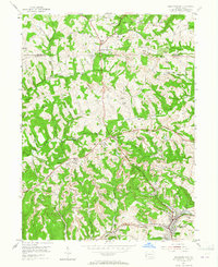
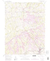
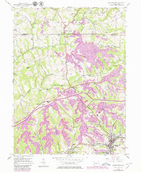
1954 Map of Burgettstown
USGS Topo · Published 1965About this map
The industrial and agricultural landscape of Washington County in the early 1950s is defined by extensive extraction activities alongside traditional community centers. Numerous Strip Mines and local operations like Francis Mine and Florence Mine carve into the hillsides surrounding Burgettstown, illustrating the region's heavy reliance on the coal economy. Transport routes like the William Penn Highway and the Pennsylvania railroad line facilitate this industrial output, connecting the rural townships of Hanover and Smith to larger markets.
Find a feature on this map
34 named features on this map. Tap any name to fly to it.
Don’t see what you’re looking for? This feature index may not catch every label — zoom into the map to look around manually.
Map Details
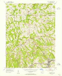
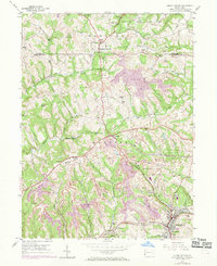
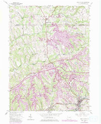
Editions of this 1954 Burgettstown Map
6 editions found
Other maps of this area

1901 · Beaver
USGS Topo · 1:62,500

1904 · Wellsville
USGS Topo · 1:62,500

1904 · Steubenville
USGS Topo · 1:62,500

1904 · Beaver
USGS Topo · 1:62,500

1904 · Burgettstown
USGS Topo · 1:62,500

1906 · Burgettstown
USGS Topo · 1:62,500

1935 · Steubenville
USGS Topo · 1:62,500

1937 · Wellsville
USGS Topo · 1:62,500

1942 · Steubenville
USGS Topo · 1:62,500

1944 · Wellsville
USGS Topo · 1:62,500