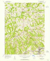
1954 Map of Burgettstown
USGS Topo · Published 1955About this map
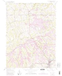
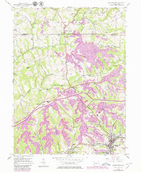
Extensive Strip Mines and specialized earthworks like the Francis Mine dominate the mid-century landscape of Washington County, illustrating the heavy industrial footprint on the Pennsylvania countryside. The borough of Burgettstown serves as a hub of activity at the confluence of the Penna RR and several local runs, while the William Penn Highway cuts a prominent path through the settlement of Florence.
Find a feature on this map
37 named features on this map. Tap any name to fly to it.
Don’t see what you’re looking for? This feature index may not catch every label — zoom into the map to look around manually.
Map Details
Editions of this 1954 Burgettstown Map
6 editions found
Other maps of this area

1901 · Beaver
USGS Topo · 1:62,500

1904 · Wellsville
USGS Topo · 1:62,500

1904 · Steubenville
USGS Topo · 1:62,500

1904 · Beaver
USGS Topo · 1:62,500

1904 · Burgettstown
USGS Topo · 1:62,500

1906 · Burgettstown
USGS Topo · 1:62,500

1935 · Steubenville
USGS Topo · 1:62,500

1937 · Wellsville
USGS Topo · 1:62,500

1942 · Steubenville
USGS Topo · 1:62,500

1944 · Wellsville
USGS Topo · 1:62,500