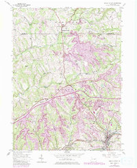
1954 Map of Burgettstown
USGS Topo · Published 1979About this map
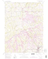
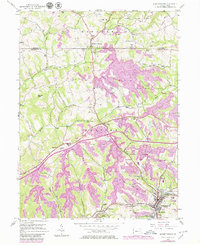
The extensive Strip Mines that characterize the Washington and Beaver County border dominate the landscape in this mid-century survey. Heavy industrial activity is evident across Hanover and Smith townships, where large-scale excavations sit adjacent to established settlements like Frankfort Springs and Burgettstown. Despite the industrial footprint, significant land is dedicated to public use at Raccoon Creek State Park and Hillman State Park, while State Game Lands No 117 occupies a large central portion of the quadrangle.
Find a feature on this map
34 named features on this map. Tap any name to fly to it.
Don’t see what you’re looking for? This feature index may not catch every label — zoom into the map to look around manually.
Map Details
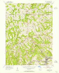
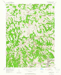
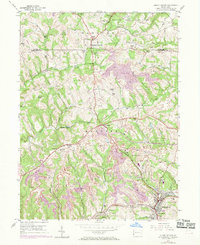
Editions of this 1954 Burgettstown Map
6 editions found
Other maps of this area

1901 · Beaver
USGS Topo · 1:62,500

1904 · Wellsville
USGS Topo · 1:62,500

1904 · Steubenville
USGS Topo · 1:62,500

1904 · Beaver
USGS Topo · 1:62,500

1904 · Burgettstown
USGS Topo · 1:62,500

1906 · Burgettstown
USGS Topo · 1:62,500

1935 · Steubenville
USGS Topo · 1:62,500

1937 · Wellsville
USGS Topo · 1:62,500

1942 · Steubenville
USGS Topo · 1:62,500

1944 · Wellsville
USGS Topo · 1:62,500