
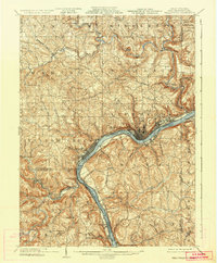
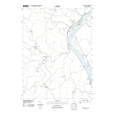
1937 Map of Wellsville
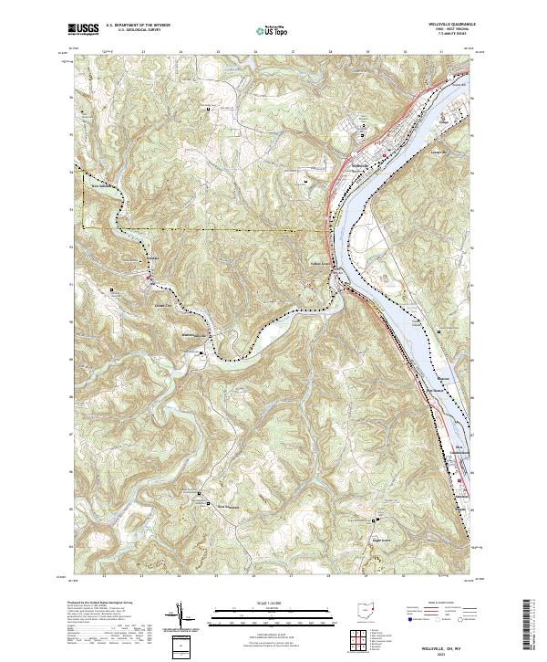
USGS Topo · Published 1960About this map
The Ohio River valley serves as a bustling industrial corridor in this study of the Tri-State area during the mid-1930s. Centered on the sharp bends of the river, the map documents the dense urban grid of East Liverpool and the linear development of Wellsville along the Cleveland and Pittsburgh RR. These riverfront settlements were then-critical hubs for the regional pottery and steel industries, connected by water and rail to nearby Chester and Newell across the state line.
Find a feature on this map
77 named features on this map. Tap any name to fly to it.
Don’t see what you’re looking for? This feature index may not catch every label — zoom into the map to look around manually.
Map Details
Editions of this 1937 Wellsville Map
This is the sole edition of this map. No revisions or reprints were ever made.
Historical Maps of East Liverpool Through Time
10 maps found
1904 Wellsville
Columbiana County, OH
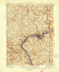
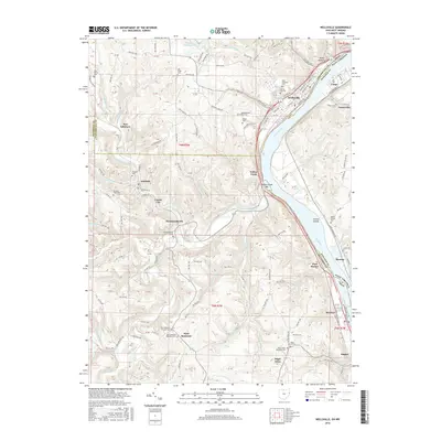
1937 Wellsville
Columbiana County, OH
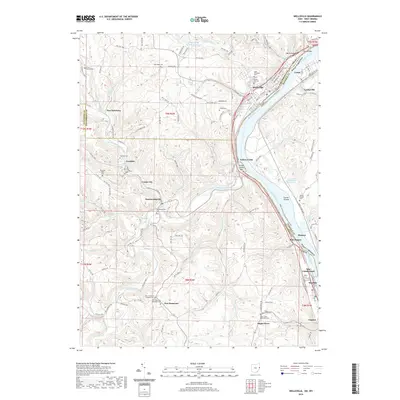
1944 Wellsville
Columbiana County, OH
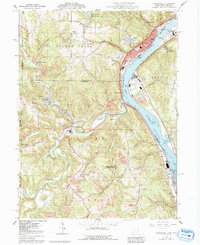
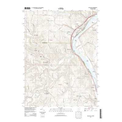
1960 Wellsville
Columbiana County, OH
1994 Wellsville
Columbiana County, OH
2011 Wellsville
Columbiana County, OH
2013 Wellsville
Columbiana County, OH
2016 Wellsville
Columbiana County, OH
2019 Wellsville
Columbiana County, OH
2023 Wellsville
Columbiana County, OH