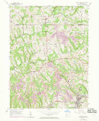
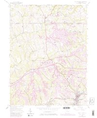
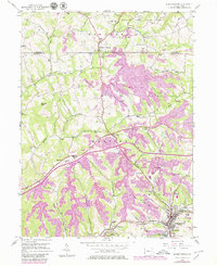
1954 Map of Burgettstown
USGS Topo · Published 1969About this map
Frankfort Springs and Florence serve as the primary hubs in this western Pennsylvania landscape, where the mid-century economy is clearly defined by intensive land use. The topography is dominated by extensive Strip Mine operations that carve across the hillsides of Hanover and Smith townships, illustrating the region's industrial scale. Towards the south, the Penn Central railroad cuts through the terrain near Dinsmore and Bertha, providing the essential transit link for coal and freight.
Find a feature on this map
37 named features on this map. Tap any name to fly to it.
Don’t see what you’re looking for? This feature index may not catch every label — zoom into the map to look around manually.
Map Details
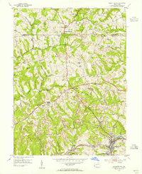
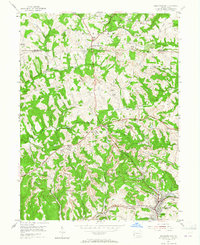
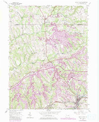
Editions of this 1954 Burgettstown Map
6 editions found
Other maps of this area

1901 · Beaver
USGS Topo · 1:62,500

1904 · Wellsville
USGS Topo · 1:62,500

1904 · Steubenville
USGS Topo · 1:62,500

1904 · Beaver
USGS Topo · 1:62,500

1904 · Burgettstown
USGS Topo · 1:62,500

1906 · Burgettstown
USGS Topo · 1:62,500

1935 · Steubenville
USGS Topo · 1:62,500

1937 · Wellsville
USGS Topo · 1:62,500

1942 · Steubenville
USGS Topo · 1:62,500

1944 · Wellsville
USGS Topo · 1:62,500